Freelancers voor geografische informatiesystemen (gis) experts: werk alleen samen met de besten

Werk exclusief samen met gescreende freelancers die je project op de juiste manier voor je uitvoeren.
K
kellynkellyn

Level 2

4,9

(164)

Perfection,Quality and Client satisfaction!

Kenia

  • Biedt uurtarieven aan
  • Geografisch informatiesysteem (GIS)
  • Kwantitatief onderzoek
  • Wetenschappelijk schrijven
  • R
  • Voice-over
  • Schrijven over gezondheid
+1Meer
C
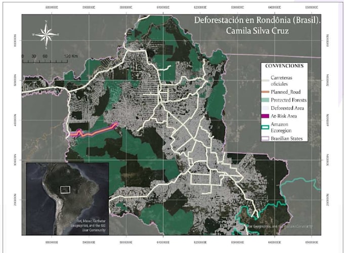
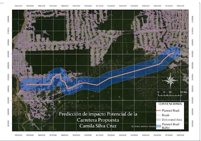
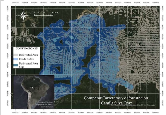
cami_silva
Your data, my maps: clear, accurate, and professional

Colombia

  • Geografisch informatiesysteem (GIS)
  • AutoCAD
  • Google Sheets
  • ArcGIS Online
  • ArcGIS Pro
+1Meer
M
maryamumar710

Level 2

4,8

(968)

Word Document Designer and Formatting Expert, Paperback and Kdp Ebook

Pakistan

  • Biedt uurtarieven aan
  • Geografisch informatiesysteem (GIS)
  • Microsoft Office
  • Hydrologie
  • Proeflezen
  • PowerPoint-presentatie
  • Vertaling van Engels naar Urdu
  • InPage
  • Microsoft Word
  • Microsoft Excel
  • Google Maps
  • PowerPoint-presentatieontwerp
  • Editen
  • Gegevensinvoer
+2Meer
+3Meer
A
anjumuop

Level 1

4,9

(103)

GIS Analyst and Consultant

Pakistan

  • Biedt uurtarieven aan
  • Geografisch informatiesysteem (GIS)
  • Cartografie & kaart design
  • GIS-mapping
  • ArcGIS
  • Datavisualisatie
+6Meer
+7Meer
G
gabrekt

Level 1

5,0

(58)

Chili

  • Biedt uurtarieven aan
  • Geografisch informatiesysteem (GIS)
  • R
  • R Shiny
  • Git
  • Python
  • Webontwikkeling
  • HTML
  • CSS
  • W3.CSS
  • JavaScript ES6
  • Java
  • C++
  • Linux
  • React
  • Ruby on Rails
F
farhan94cr
DevOps Cloud Engineer, Linux admin and Server management Services

Pakistan

  • Lessen in cloud computing codering
  • Docker
  • Linux-beheer
  • DevOps
  • Virtuele assistentie
  • Gegevensinvoer
  • Microsoft Excel
  • Microsoft Word
  • GIS-mapping
  • Copy-paste taken
  • Typen
  • Microsoft Office
  • Content schrijven
  • Proeflezen
  • Amazon productvermelding
  • eBay-dropshipping
  • Amazon FBA
  • Git
  • AWS
  • WAS EC2
  • Linux
  • GitHub
  • Server development
  • Ubuntu server
  • Serverconfiguratie
  • Server hosting
  • Server installatie
  • Bash scripting
  • Python
  • Python automatisering
+2Meer
+3Meer
  • Geografisch informatiesysteem (GIS)
  • Python
  • JavaScript
  • ArcGIS Pro
  • Lidar
  • GIS-mapping
  • Geometrische gegevens
  • Beeldverwerking
  • PostgreSQL
  • SQL
  • React
  • Folder
+7Meer
+8Meer
R
rimshajaffry

Level 1

4,7

(387)

Customer Satisfaction is important than money

Pakistan

  • Geografisch informatiesysteem (GIS)
  • Videobewerking
  • GIS-mapping
  • Data-analyse
+1Meer
+2Meer
  • Casestudy's
  • Proeflezen
  • Casestudy's schrijven
  • Professioneel schrijven
  • Casestudy analyse
  • Casestudy's
  • Creatief schrijven
  • Casestudy's schrijven
J
johnhenryhus
Landscape Site Plan and Event Map Designer

Verenigd Koninkrijk

  • Geografisch informatiesysteem (GIS)
  • Landkaart design
  • Landschapsontwerp
  • Landscape 2D-tekeningen en plattegrond
  • 2D tekening
  • Illustratie
  • Vectorillustratie
  • 3D
  • Isometrische illustratie
  • Architectuur
  • GIS-mapping
  • Adobe Illustrator
  • Adobe Photoshop
  • Grafisch ontwerp
  • Tuinontwerp
  • Landschapsarchitectuur
  • ArcGIS
  • AutoCAD
+1Meer
J
johnsonavid
Illustrated Map Designer for Campgrounds and Tourism

Verenigd Koninkrijk

  • Geografisch informatiesysteem (GIS)
  • Landkaart illustratie
  • Illustratie
  • Landkaart design
  • Fantasy kaart design
  • Cartografie & kaart design
  • Adobe Illustrator
  • Adobe Photoshop
  • Grafisch ontwerp
  • Vectorillustratie
  • Vector illustratie
  • Converteren naar vector
  • 2D illustratie
  • 2D tekening
  • Isometrische illustratie
  • Isometrisch design
  • Digitale illustratie
  • Print ontwerp
  • Infographic design
  • Pictogram ontwerp
  • Adobe Indesign
  • Redactionele illustratie
  • Fotobewerking
+1Meer

Merken die ons vertrouwen:

123
123
123