Geologist making QGIS maps, georeferencing and survey data to GIS
Pakistan
Engels, Urdu
Sommige informatie wordt in het Engels weergegeven.
Over mij
I'm a geologist (MPhil Geology) who makes clear, accurate maps in QGIS for reports, theses and projects.
What I can do for you:
- Location and study-area maps for reports and theses
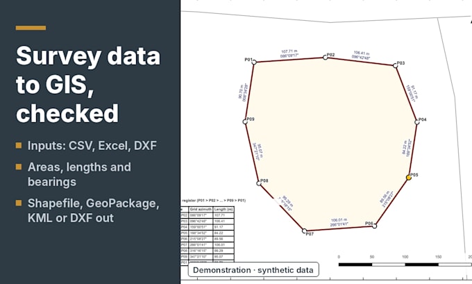
- Survey coordinate tables (CSV/Excel/DXF) turned into checked boundary maps with area statements
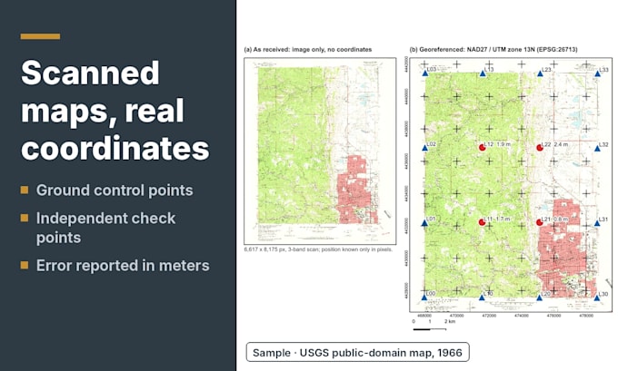
- Georeferencing scanned maps and digitizing features
- Terrain, slope and land-cover maps from open data
Every job starts with a data check, uses the correct coordinate system, and credits all sources. You get PDF/PNG maps, plus GIS files on request. Please message me with your area and purpose before ordering.... Lees meer