Door categorieën bladeren
Nederlands
$
USD
Koppel je AI aan Fiverr



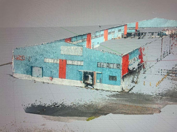
I will process your *Leica laser scanning data into a clean, registered point cloud for your project.
Services include:
Whether your project involves a building, an industrial facility, or an outdoor site, I will prepare your point cloud according to the agreed requirements.
Please provide your original scan files, any available GPS or control point data, and your preferred software and output format. For georeferenced projects, include the coordinate reference system.
Delivery includes processed point cloud data only. CAD drawings, surfaces, solid models, and BIM modelling are not included.
Contact me before ordering so I can review your files and confirm the price, delivery time, and export compatibility.
Fiverr screent de freelancers in deze categorie niet. Verifieer de kwalificaties en bespreek de specificaties met de freelancer voordat je een bestelling plaatst, inclusief je voorkeuren met betrekking tot het gebruik van AI-tools.
Talen