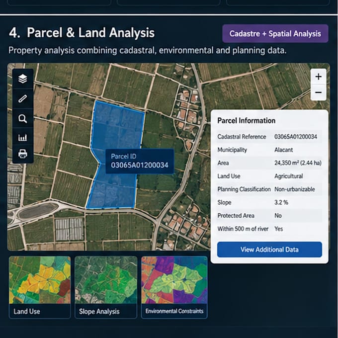
Ik analyseer parcel- en landgebruikanalyse met GIS

A
alexis_ba_
A
alexis_ba_
Alexis B
Sommige informatie is automatisch vertaald.

Over deze dienst

Automatische vertaling

Een GIS-analyse op parcelniveau gemaakt, waarbij kadastrale, landgebruiks-, milieugerelateerde en planningsinformatie worden gecombineerd. De workflow maakt het mogelijk om individuele parcels te evalueren op basis van locatie, oppervlakte, landgebruik, planningsbeperkingen en omliggende geografische omstandigheden.

Maak kennis met Alexis B

Alexis B

GIS Analyst ArcGIS Python

  • Afkomstig uitSpanje
  • Lid sindssep 2026
  • Talen

    Spaans, Engels
Hi! I'm Alexis, a GIS Analyst and Programmer specializing in ArcGIS and geospatial data workflows. I work with ArcGIS Pro, Enterprise, Python/ArcPy, SQL, Oracle, LiDAR and FME. I help clients automate GIS workflows, troubleshoot ArcGIS issues, manage geospatial databases, process LiDAR and satellite data, and build web GIS solutions. I focus on practical solutions, reliable results and clear communication. Feel free to contact me before ordering to discuss your project.

Automatische vertaling

Mijn portfolio

Gerelateerde tags