Door categorieën bladeren
Nederlands
$
USD
Maak verbinding met je AI
AutoCAD Land Survey and Topographic Drafting Specialist
Skills
Bekijk mijn diensten

Fiverr
ZZP • 0 mos
Topographic Survey & Site Plan Drafter
Oct 2026 - Oct 2026 • 0 mos
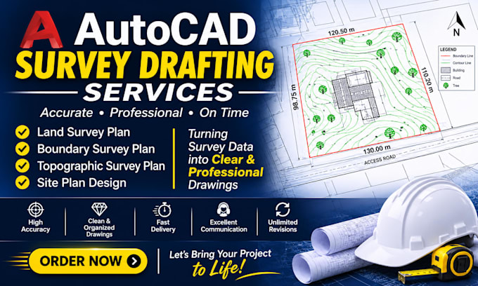
Prepared and edited topographic survey drawings and site plans in AutoCAD for land development, building projects, and other planning purposes. Used supplied survey data, spot levels, coordinates, contour information, and project sketches to develop organized drawings that communicate site conditions and proposed layouts clearly. Responsibilities included drafting contour lines, representing existing site features, plotting buildings and access roads, adding dimensions and annotations, preparing legends, and organizing drawing layers for easy editing. Also worked on site layouts, property boundaries, building footprints, and other relevant features based on available project information. Paid close attention to drawing presentation, layer management, line types, text styles, scales, and plotting layouts to support clear interpretation of technical drawings. Collaborated with clients to clarify project requirements, incorporate revisions, and deliver drawings in appropriate formats such as DWG and PDF. The main objective was to transform supplied technical information into clear, well-structured AutoCAD drawings that support design coordination, planning, and project documentation.
AutoCAD Land Survey Drafter
Oct 2026 - Oct 2026 • 0 mos
Responsible for preparing, drafting, and editing land survey plans using AutoCAD, with a focus on producing clear, organized, and professionally presented technical drawings. Worked with survey data, field measurements, sketches, and existing reference documents to create detailed survey plans according to project requirements. Tasks included plotting property boundaries, labeling survey points, adding dimensions, calculating or displaying coordinate information supplied by clients, organizing drawing layers, and arranging title blocks and annotations for a professional layout. Also assisted with converting PDF documents, scanned plans, and hand-drawn sketches into editable AutoCAD drawings. Focused on maintaining drawing consistency, following supplied specifications, communicating with clients to understand their needs, and making revisions based on feedback. Ensured that drawings reflected the provided source data and were properly formatted for review, editing, and printing.
