Door categorieën bladeren
Ontdekken
Fiverr Pro
Nederlands
$
USD

Level 1
Automatische vertaling
Ik bouw high-performance, op maat gemaakte GIS webapplicaties die specifiek zijn afgestemd op jouw ruimtelijke data en visualisatiebehoeften. Of je nu een interactieve kaart, een volledig geospatiaal dashboard of een locatiegebaseerde mobiele app wilt lanceren, ik breng end-to-end ontwikkelingsvaardigheden mee om responsieve, efficiënte en visueel aantrekkelijke oplossingen te creëren. Ik help bedrijven, stadsplanners, onderzoekers en overheidsinstanties de kracht van geografische data te ontsluiten via dynamische interfaces, ruimtelijke analyse en real-time web mapping platforms.
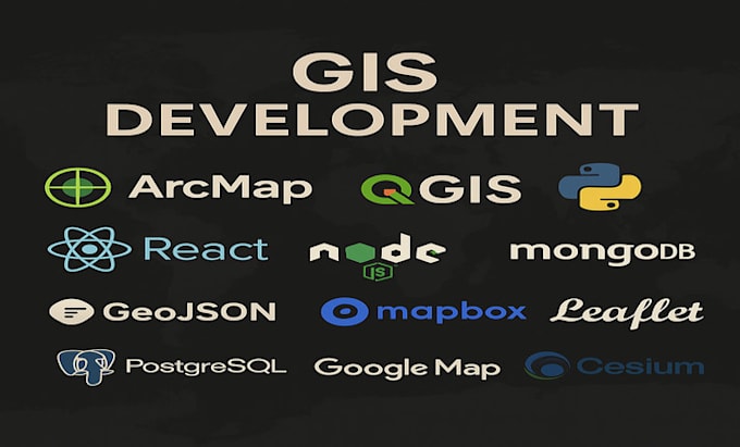
Frontend: ReactJS | Angular | MUI | Bootstrap
Backend: Express | Python | Django | Flask | Node.js
Mapping: Mapbox | Leaflet | OpenLayers | Cesium | Google Maps | DeckGL
Databases: PostgreSQL + PostGIS | MongoDB | MySQL
GIS Tools: QGIS | ArcGIS | GDAL | FME | GeoPandas | Rasterio
Data Formats: GeoJSON | Shapefile | KML | GeoTIFF | WMS/WFS | Vector Tiles
Mobile: React Native (voor locatiegebaseerde apps)
Van aangepaste popups, kaart overlays, ruimtelijke queries en legend integratie tot volledige API-ondersteunde dashboards, ik lever gepolijste GIS-systemen die ontworpen zijn voor impact.
Turning Complex Spatial Data into Simple, Stunning Applications
Level 1
Talen
Automatische vertaling
Automatische vertaling
Kun je mijn shapefiles of WMS lagen integreren in de kaart?
Ja, ik kan een breed scala aan ruimtelijke formaten integreren, waaronder Shapefiles, WMS/WFS, KML en GeoTIFF.
Wordt het responsief en mobielvriendelijk?
Absoluut. Alle apps zijn geoptimaliseerd voor desktop en mobiel met een overzichtelijke UI.
Ondersteun je database-integratie voor live ruimtelijke data?
Ja. Ik kan verbinden met en query’s uitvoeren vanuit PostGIS of MongoDB voor real-time kaartweergave.
