Door categorieën bladeren
Ontdekken
Fiverr Pro
Nederlands
$
USD

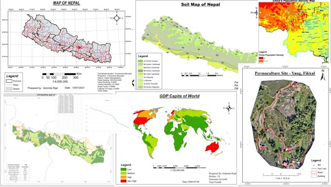
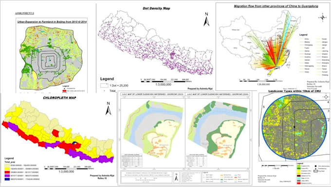
Geomatics Engineer
Skills
Bekijk mijn diensten
GIS Associate
Geovation Nepal Private Limited • Fulltime
Feb 2025 - Present • 1 yr 4 mos
As a core team member of Geovation Nepal, a leading geospatial and surveying consultancy in Kathmandu, I worked on a variety of advanced spatial data and drone mapping projects using cutting‑edge geospatial technologies. Geovation Nepal is known for precision drone surveys, large‑area mapping, and advanced GIS solutions using UAVs and drone platforms. Key Responsibilities & Experience: 1.Conducted high‑precision drone survey mapping operations for city‑scale and large‑area geospatial projects. 2.Processed raw UAV/drone data to generate orthomosaics, DEM/DSM models, contour maps, and accurate geospatial deliverables. 3.Performed GNSS data collection and processing including RTK, PPK, and static survey workflows to ensure accurate coordinate alignment in spatial datasets. 4.Performed GIS mapping and spatial analysis for environmental monitoring, thematic map creation, and spatial decision‑making. 5.Integrated satellite imagery with drone data to enhance geospatial precision and multi‑source analysis. 6.Supported project inspection, construction progress monitoring, and municipal mapping initiatives using geospatial technologies and UAV imagery. Key Achievements: 1.Successfully delivered precision drone‑based mapping projects for clients requiring high‑resolution spatial outputs. 2.Contributed to large area mapping initiatives using UAV and GIS integration. 3.Enhanced the quality of field GNSS surveys and spatial data by combining airborne and ground data for reliable geospatial products.
