Sommige informatie wordt in het Engels weergegeven.
Over mij
I’m a GIS and Remote Sensing specialist with a background in Urban and Regional Planning from RUET. I help researchers, planners, students, and organizations turn spatial data into accurate, well-organized GIS layers and clear, professional maps.
My services include:
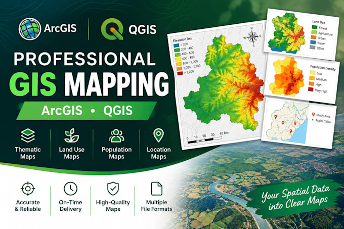
- GIS mapping and cartographic layout design
- Map digitization and georeferencing
- Spatial data preparation and attribute table editing
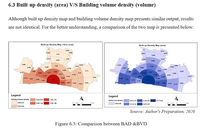
- Land use/land cover and thematic mapping
- Spatial analysis and research mapping
- GIS data export and formatting
Tools: ArcGIS, QGIS, and Microsoft Excel.... Lees meer