Door categorieën bladeren
Nederlands
$
USD
Maak verbinding met je AI


Automatische vertaling
Hallo en welkom!
Ben jij op zoek naar professionele GIS-kaartdiensten voor jouw project, onderzoek, bedrijf of organisatie?
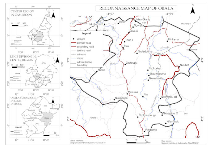
Ik maak hoogwaardige kaarten met QGIS en ruimtelijke data op maat van jouw specifieke wensen. Of je nu thematische kaarten, kaartgebruik, omgevingskaarten, administratieve kaarten of ruimtelijke analyses nodig hebt, ik lever duidelijke, nauwkeurige en visueel aantrekkelijke resultaten.
Professioneel cartografisch ontwerp
Aangepaste kaartlay-outs
Ruimtelijke analyse en geoprocessing
Hoge resolutie exports naar PDF, PNG en JPEG
QGIS-gebaseerde workflows
Snel contact en betrouwbare levering
Ik kan met jouw eigen data werken (Shapefile, GeoJSON, KML, GPX, CSV, Excel) of publiek beschikbare datasets.
Mijn doel is om jouw ruimtelijke data om te zetten in professionele kaarten die rapportage, planning, besluitvorming en presentaties ondersteunen.
Voel je vrij om contact op te nemen voordat je een bestelling plaatst om jouw projectvereisten te bespreken
GIS Specialist, QGIS Mapping, Spatial Data Processing
Talen
Automatische vertaling
Automatische vertaling
Welke gegevensformaten worden geaccepteerd?
Ik accepteer Shapefile, GeoJSON, KML, KMZ, GPX, CSV, Excel, GeoPackage en andere gangbare GIS-formaten.
Kun je kaarten maken van mijn data?
Bijv. Je kunt jouw GIS-gegevens aanleveren en ik maak een op maat gemaakte professionele kaart volgens jouw wensen.
Welke bestandsformaten zal ik ontvangen?
Afhankelijk van het pakket kun je PDF, PNG, JPEG en andere gevraagde formaten ontvangen.
Bied je GIS-analyse aan?
Ja. Ik kan ruimtelijke analyse uitvoeren, buffers, overlays, nabijheidsanalyse, kaartgebruik van land, en andere GIS-taken.
Kun je kaarten maken voor academische of onderzoeksprojecten?
Zeker. Ik maak regelmatig professionele kaarten voor onderzoek, rapporten, scripties en presentaties.