Sommige informatie wordt in het Engels weergegeven.
Over mij
HELLO WELCOME TO MY GIG!!!
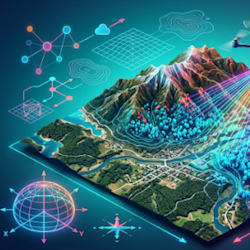
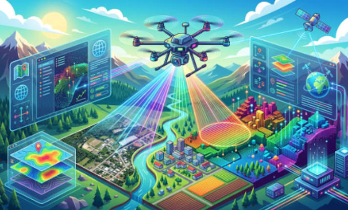
I am an expert GIS and drone mapping specialist with expertise in UAV data processing, orthophoto generation, LiDAR analysis, and geospatial mapping using Pix4D and QGIS. I transform raw aerial images into accurate, high-quality maps and 3D models for surveying, planning, and analysis. My focus is precision, clarity, and fast delivery. I help clients turn complex spatial data into actionable insights with industry-standard tools and professional workflows for reliable results.
KINDLY MESSAGE BEFORE ORDERING!!!... Lees meer