Sommige informatie wordt in het Engels weergegeven.
Over mij
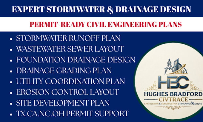
Welcome! I'm Hughes Bradford, a Civil Engineering Design Specialist focused on stormwater management, drainage design, site grading, and permit-ready plans. I assist property owners, developers, contractors, and architects with residential and commercial projects across the U.S. From drainage and grading plans to erosion control, utility layouts, and permit documentation, I deliver accurate, code-compliant designs with clear communication and on-time results.... Lees meer