Door categorieën bladeren
Ontdekken
Fiverr Pro
Nederlands
$
USD

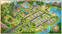
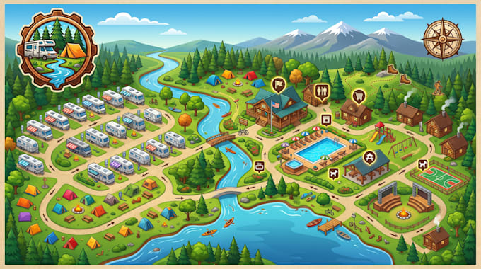
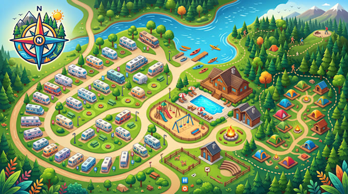
Are visitors struggling to navigate your campground, RV park, or outdoor destination?
I create custom illustrated maps that solve navigation challenges, improve guest experience, and transform complex outdoor spaces into clear, engaging destinations. I design professional maps that help visitors easily find campsites, trails, amenities, facilities, and attractions.
My Services:
Deliverables:
Why Choose Me:
Ready to create a map that guides, informs, and impresses your guests?
Message me before ordering and lets bring your outdoor space to life.
Laat het de freelancer weten als je voorkeuren voor of zorgen hebt over het gebruik van AI-tools voor het voltooien en/of leveren van je bestelling.
Wayfinding and Illustrated Map Designer
Talen
I’m worried my map won’t accurately represent my property. How do you ensure accuracy?
I carefully review your provided layouts, sketches, satellite images, CAD files, or references to create a map that reflects your real property. Every important location, pathway, facility, and feature is organized for accuracy and easy visitor understanding.
My campground/RV park is large and complex. Can you handle detailed layouts?
Absolutely. I specialize in turning complex outdoor spaces into clean, professional maps. Whether you have multiple campsites, trails, amenities, buildings, or recreation areas, I create a clear navigation experience for your guests.
Will the final map work for both online use and printed materials?
Yes. Your map can be optimized for websites, mobile viewing, brochures, visitor guides, marketing campaigns, and large-format signage while maintaining high visual quality.
Can I update the map later when my property changes?
Yes. Editable source files are available, allowing future updates such as adding new RV sites, trails, buildings, amenities, or property expansions without starting from scratch.
What if I need changes after the first design?
I include review stages to make sure the final result matches your vision. Your feedback is important, and I refine the design until the map meets your expectations.