Het lijkt erop dat deze dienst tijdelijk niet beschikbaar is
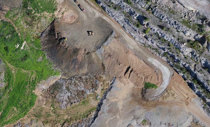
I will create an orthophoto from aerial data
D
D
Dron.em
Sommige informatie wordt in het Engels weergegeven.
Volledig scherm
Over deze dienst
I will take the aerial photos provided by you and transform them into a digital orthophotomap. The basic export is tiff or jpg, if you need another format, write to me
Tool
Overige
Maak kennis met Dron.em
Dron.em
Afkomstig uitPolen
Lid sindsnov 2020
Talen
Pools, Engels, Chinees
I am surveyor, drone operator, photogrametry specialist, light plane pilot, graphic designer and photographer. I constantly try to develop new solutions combaining sectors in which I have knowledge. I am trying to be innovative and create new products.