Ik digitaliseer met QGIS en ArcGIS

E
edu_bel
E
edu_bel
Eduardo B
Sommige informatie is automatisch vertaald.

Over deze dienst

Automatische vertaling

Als je hulp nodig hebt bij de onderstaande diensten:


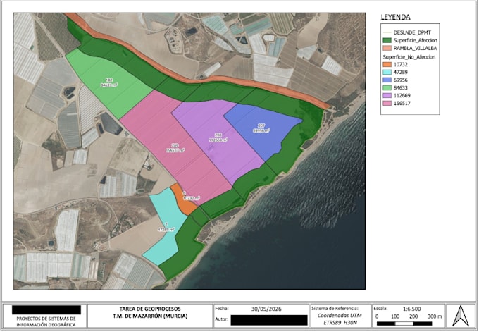
  • Digitalisering van punten, lijnen en polygonen in vectorformaat
  • Shapefile, feature class, geodatabase aanmaken
  • Lineament extractie met satellietbeelden
  • Topografische kaart digitaliseren
  • Georefereren
  • Gedigitaliseerde scans van afbeeldingen
  • Digitaliseren van foto's en afbeeldingen


Neem gerust contact met me op en bespreek dit verder voordat je een bestelling plaatst.Ik kan de pakketten aanpassen en op maat gemaakte aanbiedingen doen op basis van jouw werk.


Eduardo


Maak kennis met Eduardo B

Eduardo B

GIS Expert

  • Afkomstig uitSpanje
  • Lid sindsjul 2026
  • Gem. reactietijd1 uur
  • Talen

    Spaans, Engels
I am a GIS specialist with more than 8 years of experience delivering spatial analysis, cartography, land suitability studies and technical GIS solutions. I can help you with: ✔ QGIS and ArcGIS projects ✔ Spatial data analysis ✔ Interactive maps ✔ Cartography ✔ Land suitability studies ✔ Georeferencing ✔ Shapefile and GeoJSON processing ✔ Technical reports I have worked on projects for public institutions and private companies, delivering accurate, professional and reliable GIS solutions. I focus on clear communication, fast delivery and high-quality results.

Automatische vertaling

Mijn portfolio