Door categorieën bladeren
Ontdekken
Fiverr Pro
Nederlands
$
USD


Automatische vertaling
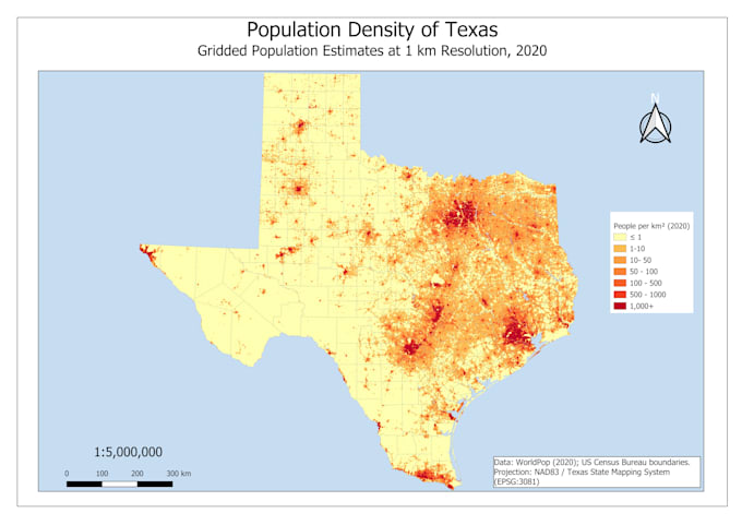
Heb je schone, nauwkeurige kaarten of deskundige ruimtelijke analyse nodig voor je project, rapport of presentatie? Ik ben een GIS- en Stedelijke Planning specialist met praktische ervaring in landgebruik mapping, digitalisering en locatiegeschiktheidsanalyse.
Diensten:
Tools: QGIS, ArcGIS, Google Earth
Stuur me eerst een bericht met je projectdetails (gebied van interesse, beschikbare data, beoogd gebruik) zodat ik het goed kan inschatten voordat je bestelt.
Leveringsformaten: Printklare PDF/PNG, plus bronprojectbestanden op aanvraag.
Talen
Automatische vertaling
Automatische vertaling
Wat voor soort ruimtelijke analyse kun je doen?
Buffer, overlay, geschiktheid/locatiekeuze, nabijheid, basis hydrologie
Moet ik de data aanleveren?
Ideaal gezien, ja, maar ik kan gratis openbare datasets (OpenStreetMap, overheidsbronnen) vinden als dat nodig is.
Kan dit worden gebruikt voor academische indiening?
Ja, volgens jouw gevraagde standaard opgemaakt.