f
faniryrandre

Faniry

@faniryrandre

Topographe SIG ExpertAutocad covadis

Madagascar
Engels
Sommige informatie wordt in het Engels weergegeven.
Over mij
I am a professional Topographer and GIS Specialist from Madagascar with 5 years experience in land surveying and mapping. SERVICES Topographic Surveys and Maps AutoCAD Plans DWG DXF GIS Mapping with QGIS and ArcGIS GPS Data Processing and Georeferencing Contour Maps and 3D Terrain Modeling Parcel and Cadastral Maps SOFTWARE AutoCAD QGIS ArcGIS Covadis Global Mapper Google Earth Pro... Lees meer

Skills

f
faniryrandre
Faniry
offline • 

Bekijk mijn diensten

Grafische vormgeving
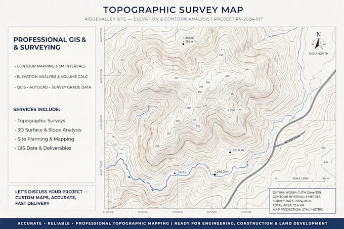
I will create accurate topographic map for your construction

Portfolio

Werkervaring

Self_Employed

Géomètre Topographe

Self Employed • Freelance

Oct 2026 - Present • 1 mo

Service Fiverr :Cartes Topographiques Logiciel: arcgis ,Autocad