Sommige informatie wordt in het Engels weergegeven.
Over mij
Hello! I am a geomatics and topography specialist.
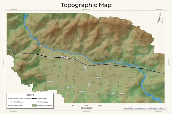
I help you turn your geographic data into clear, accurate and professional maps. I work with QGIS, GPS/GNSS, drones and photogrammetry.
My services:
- Professional QGIS maps (topographic, cadastral, thematic)
- Digitizing plans, parcels and roads
- Drone image processing: orthophoto, 3D model, DEM
- Spatial analysis and cartography
I deliver clean files, on time, in PDF, PNG, JPG and QGIS project format. Contact me before ordering if you have a special request.... Lees meer