Door categorieën bladeren
Nederlands
$
USD
Koppel je AI aan Fiverr
Automatische vertaling
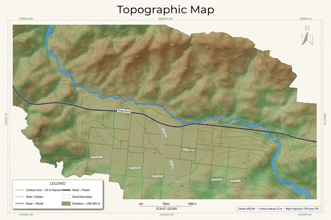
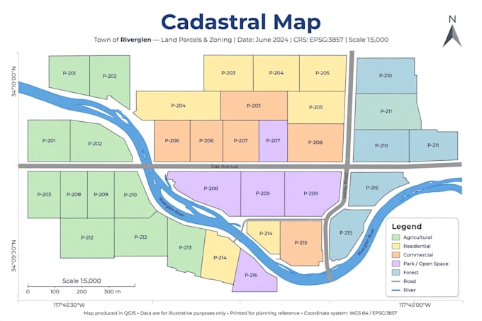
Ik ben specialist in geomatics en topografie. Ik maak kaarten van hoge kwaliteit met QGIS, digitaleer jouw plannen en verwerk jouw dronebeelden tot orthophotos en 3D-modellen.
Wat ik voor jou kan doen:
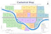
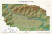
- Professionele QGIS-kaarten (topografisch, kadastraal, thematisch)
- Digitaliseren van plannen, percelen en wegen
- Drone-beeldverwerking: orthophoto, 3D-model, DEM
- Ruimtelijke analyse en attribuuntabellen
- Printklare kaarten in PDF, PNG en JPG
Wat ik van jou nodig heb:
- Jouw data (shapefile, GeoJSON, GPS-punten, dronefoto’s of gescand plan)
- Het gebied en het doel van de kaart
Levering in 3 dagen, inclusief bronbestanden.
Neem contact op voordat je bestelt als je een speciale aanvraag hebt.
Geomatics GIS Specialist
Talen
Automatische vertaling