Sommige informatie wordt in het Engels weergegeven.
Over mij
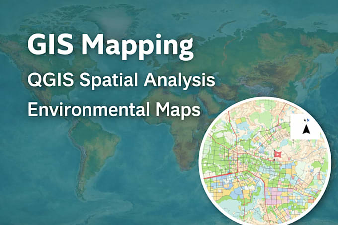
I am a GIS and Environmental Data Analyst with an MSc in Geography and Environmental Science.
I specialize in:
• GIS mapping using QGIS
• Land Use Land Cover mapping
• Environmental and climate data visualization
• Spatial analysis including buffer overlay and clip
I focus on accuracy, clear communication, and on-time delivery.... Lees meer