Door categorieën bladeren
Ontdekken
Fiverr Pro
Nederlands
$
USD
HVAC werktuigbouwkundig ontwerper voor warmteverlies en energie-analyse van warmtepompen
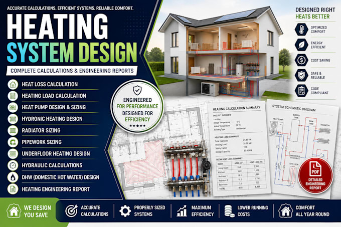
Ben je op zoek naar een complete verwarmingssysteemoplossing door nauwkeurige engineeringberekeningen? Je bent op de juiste plek. Ik bied op maat gemaakte verwarmingssysteemberekeningen en technische rapporten voor residentiële, commerciële en industriële projecten, zodat aannemers, architecten, bouwers en eigenaren van onroerend goed efficiënte, betrouwbare en energiebewuste verwarmingsoplossingen kunnen realiseren.
De diensten die ik aanbied:
Elk project wordt met precisie voorbereid, zodat je systeem correct wordt gesizeerd, in balans is en geoptimaliseerd voor prestaties. Je ontvangt duidelijke engineeringdocumentatie die de installatie, planning, aanbesteding of projectgoedkeuring ondersteunt.
Waarom met mij samenwerken?
Stuur me je plattegronden of projectgegevens vóór het bestellen, en ik adviseer je over de meest geschikte verwarmingsoplossing op basis van de eisen van jouw project.