Sommige informatie wordt in het Engels weergegeven.
Over mij
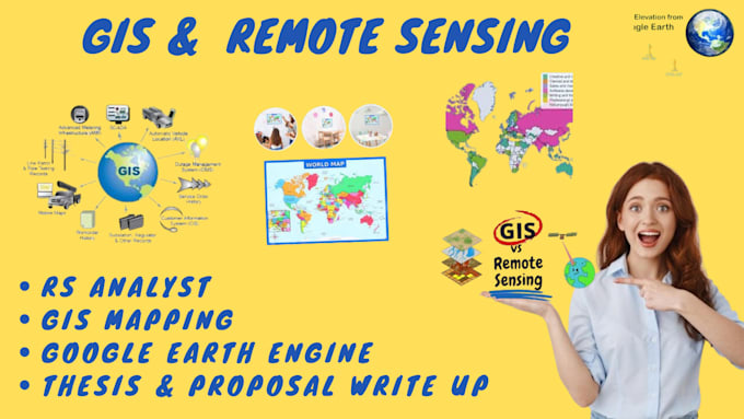
GIS(Geographic information system) and Remote Sensing are technologies used to collect, analyze, and visualize geospatial data. GIS . Displays data on maps . enables location-based analysis . Stores, manages, and analyzes data Remote Sensing: . Collects data through satellite or aerial images . analyzes and interprets data . monitors environment, land use, and disasters Combining GIS and Remote Sensing enables better understanding of geospatial data, informing decisions in : 1 Urban planning. 2 Natural resource management climate change. 3 Emergency response. 4 infrastructure development... Lees meer