Door categorieën bladeren
Ontdekken
Fiverr Pro
Nederlands
$
USD



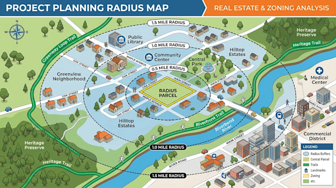
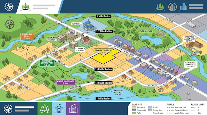
A circle on a map is easy. Knowing exactly which parcels, zoning rules, and surrounding properties fall inside that circle is where the real value begins.
I create radius parcel maps that turn a target location into clear property intelligence for real estate, zoning, site selection, permitting, and land-use decisions.
I can combine parcel boundaries, radius buffers, zoning information, land use layers, addresses, parcel IDs, acreage, and other available GIS data into an easy to read map.
MAP INTEL:
DECISION VALUE:
DATA EDGE:
OUTPUT OPTIONS:
Send me your location, radius, and project goal now. Lets turn your target area into actionable parcel intelligence.
Laat het de freelancer weten als je voorkeuren voor of zorgen hebt over het gebruik van AI-tools voor het voltooien en/of leveren van je bestelling.
3D map designer
Talen
What happens if the parcel data doesn't match my site?
I can compare the supplied location against the available parcel layer and flag discrepancies before finalizing the map, helping reduce the risk of making decisions from mismatched property data.
Can the map support a permit or zoning submission?
Yes. I can structure the map around requirements such as parcel identification, surrounding properties, zoning context, radius buffers, addresses, and site annotations. Final acceptance remains with the relevant authority.
What if my project needs a very specific radius?
I work from the available source GIS/cadastral data and can flag missing, outdated, or conflicting information instead of presenting uncertain data as fact.
Can you prevent incorrect parcel or zoning information?
I work from the available source GIS/cadastral data and can flag missing, outdated, or conflicting information instead of presenting uncertain data as fact.
What if the radius crosses multiple parcel boundaries?
I can preserve the actual parcel geometry and clearly show which parcels intersect the selected radius rather than treating the entire area as one block.