Ik doe GIS mapping, spatial analysis en cartografie in ArcGIS

H
habibur_hamanna
H
habibur_hamanna
HAMANNA
Sommige informatie is automatisch vertaald.

Over deze dienst

Automatische vertaling

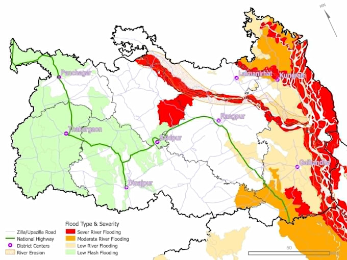
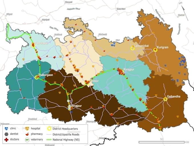
<pBen je op zoek naar schone, professionele en publicatieklare kaarten of onderbouwde ruimtelijke analyses en inzichten? Als een Senior in Urban en Regional Planning, gespecialiseerd in Geographic Information Systems (GIS), zet ik complexe geografische data om in duidelijke, professionele visuele assets.


Ik bied aan:

  • Geavanceerde statistische en ruimtelijke analyse & modellering
  • Professionele cartografie & kaartlay-out ontwerp
  • Georefereren, digitaliseren & vectorconversie (Shapefiles/GeoPackage)
  • Verwerking van satellietbeelden (NDVI, landgebruik mapping) met GEE
  • Hydrologische & DEM waterscheidingsanalyse


Waarom ik?

  • Hoge precisie technische uitvoering met tools volgens industrienormen (ArcGIS Pro & QGIS)
  • Schoon, esthetisch en professioneel kaartontwerp dat aansluit bij jouw branding
  • Snelle reactie en duidelijke communicatie


Stuur me een bericht met je projectdetails voordat je een bestelling plaatst voor een aangepaste aanbieding!

Maak kennis met HAMANNA

HAMANNA

GIS analyst

  • Afkomstig uitBangladesh
  • Lid sindssep 2026
  • Talen

    Bengaals, Engels, Hindi
Khulna University URP graduate specializing in GIS and spatial data analysis. I transform complex geographic data into clear insights for urban and environmental projects. My expertise covers ArcGIS Pro, Python automation, NDVI/NDBI satellite processing, land-use mapping, and neighborhood planning. Whether you need precise spatial conversions, custom maps, or urban reports, I deliver professional results tailored to your needs. Let us collaborate on your next mapping project.

Automatische vertaling