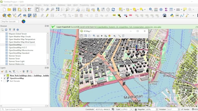
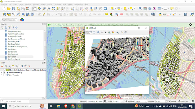
Ben je op zoek naar nauwkeurige building footprint extractie en meeslepende 3D-visualisaties? Ik bied professionele geospatiale diensten aan met QGIS en Python om ruwe ruimtelijke data om te zetten in gedetailleerde, bruikbare inzichten. Of het nu gaat om stedelijke planning, vastgoed of architectuurprojecten, ik help je je data tot leven te brengen.
Wat ik aanbied:
- Nauwkeurige building footprint extractie:
- Footprints uit verschillende databronnen halen, zoals satellietbeelden, LIDAR en DEM.
- Gebruik maken van Python-scripts voor efficiënte, grootschalige data verwerking.
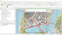
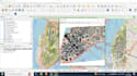
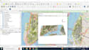
- 3D-visualisatie:
- Maak verbluffende 3D-modellen van building footprints met QGIS.
- Integreer hoogtegegevens voor realistische weergaven.
- Pas 3D-omgevingen aan, inclusief terrein- en hoogtemodellen.
- Data-integratie:
- Omgaan met diverse datasets (bijvoorbeeld shapefiles, GeoTIFFs, CSV en meer).
- Naadloze integratie met andere GIS-platforms of CAD-tools.
- Automatisering & scripting:
- Ontwikkel Python-scripts voor herhaalbare, geautomatiseerde workflows.
- Op maat gemaakte scripts voor unieke projectvereisten.
Waarom voor mij kiezen:
- Ruime ervaring in QGIS en Python voor geospatiale analyse.
- Hoge aandacht voor detail en datanauwkeurigheid.
- Tijdige oplevering van projecten.