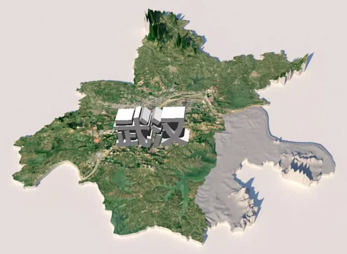
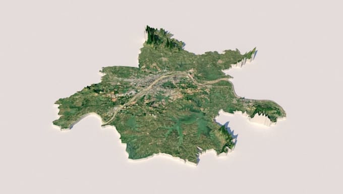
I will convert scan to 3d terrain model, digital surface grid contours from point cloud

H
hifokanbaleh
H
hifokanbaleh
ifokanbaleeh
Sommige informatie wordt in het Engels weergegeven.

Over deze dienst

Welcome to my professional 3D Digital and Physical Terrain Modeling and Geospatial service!


Are you looking to convert your raw scan data, drone images, or point clouds into accurate, high-quality 3D terrain models and topographic maps? You are in the right place!

I offer professional data processing services to transform your spatial data into clean, usable formats for engineering, architecture, urban planning, or GIS analysis.


Services Offered:


  • Point Cloud to 3D Terrain: Conversion of LiDAR or photogrammetry point clouds into accurate 3D mesh terrain models.
  • Digital Elevation Models (DEM/DTM/DSM): High-resolution digital surface and terrain grid generation.
  • Topographic Contours: Precise contour line extraction at custom intervals (1m, 2m, 5m, etc.).
  • Format Conversion: Delivery in standard formats such as DWG, DXF, OBJ, STL, FBX, TIFF, or SHP.


Why Choose Me?


  • Years of experience in GIS, photogrammetry, and 3D modeling.
  • High precision, clean typography, and topological accuracy.
  • Quick turnaround time and dedicated revision support.


Please contact me before placing an order to discuss your project requirements.

Voorkeur voor een leveringsstijl

Laat het de freelancer weten als je voorkeuren voor of zorgen hebt over het gebruik van AI-tools voor het voltooien en/of leveren van je bestelling.

Maak kennis met ifokanbaleeh

ifokanbaleeh

Expert SCAN TO BIM MEP Specialist

  • Afkomstig uitFinland
  • Lid sindsnov 2026
  • Gem. reactietijd1 uur
  • Talen

    Engels, Spaans, Frans, Duits, Italiaans, Arabisch, Pools, Portugees, Hebreeuws
Welcome! I am a professional Scan to BIM MEP Specialist with extensive experience transforming raw laser scan data (Point Clouds) into highly accurate, detailed 3D BIM models. I specialize in modeling complex Mechanical, Electrical, and Plumbing (MEP) systems using industry-standard software like Autodesk Revit and ArchiCAD. My focus is on delivering clash-free, precise, and data-rich models tailored to meet your specific project requirements, LOD standards, and strict deadlines. Let’s bring your physical spaces into the digital world with absolute precision!