Door categorieën bladeren
Ontdekken
Fiverr Pro
Nederlands
$
USD


Automatische vertaling
Welkom bij de GIS Remote Sensing Science!
Assalam-o-Alaikum!
Mijn naam is Awais Ali:
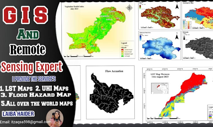
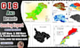
Ik ben een GIS- en Remote Sensing-analist met meer dan 4 jaar ervaring in GIS, RS, Machine learning en Deep learning. Ik heb veel projecten gedaan, van het maken van GIS-kaarten in verschillende software. Ik heb 5 jaar ervaring als Research Associate aan de Punjab University in Lahore, Pakistan.
Belangrijke software voor spatial data analyse:
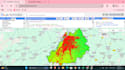
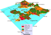
Geavanceerde GIS- en Remote Sensing-analyse:
Ik bied de volgende diensten aan.
Tevredenheid van de klant staat voorop. Dank je wel!
I am a GIS expert
Talen
Automatische vertaling