I will do advanced gis and rs analysis

J
jahid_tushar
J
jahid_tushar
Jahidul I
Sommige informatie wordt in het Engels weergegeven.

Over deze dienst

The program has substantial editing, geoprocessing, and thematic mapping capabilities in addition to a few well-selected, advanced GIS analytical methods. Furthermore, you are free to contact me about any of your research project. I will strive to exceed your expectations.


What kinds of services can I provide for you?

  • Geocoding service
  • Geoprocessing service ( Merge, Buffer, overlay, Intersect, Dissolve, Union, Erase)  
  • Image service (Download, Analysis)
  • Map service (Interactive, Simple)
  • Topographic Production (Map, layout, Digitize, Georeferencing)
  • Validation (Accuracy assessment)
  • Network Analysis
  • Date format Conversion (pdf to jpeg, raster to vector, kml to shap etc)
  • Documentation, SOP, Chart, Diagram
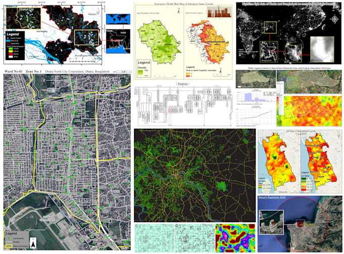
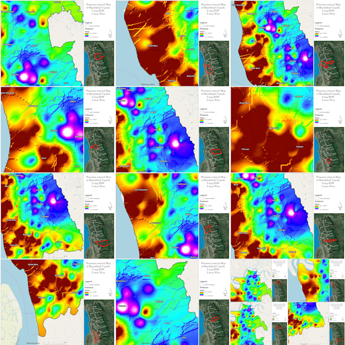
  • Advanced GIS Analysis ( Image Classification, NDVI, NDWI, Road Network Analysis, Watershed Delineation, Suitable Site Selection, Flood Hazard Mapping, Methodology Development, Model Builder etc...that based on the demand of your project and datasets)

Maak kennis met Jahidul I

Jahidul I

Expert in GIS, Remote Sensing, Research, and Design Solutions

4,2(2)
  • Afkomstig uitBangladesh
  • Lid sindsmei 2020
  • Laatste levering1 jaar
  • Talen

    Bengaals, Engels, Hindi
Hi, I’m Mohammad Jahidul Islam Tushar, a GIS and Remote Sensing specialist with 5+ years of experience in crafting impactful maps and spatial analyses. I’ve worked with top organizations, turning complex data into clear, actionable insights. Whether it’s custom GIS mapping, data quality assurance, or remote sensing solutions, I bring precision and expertise to every project. Let’s work together to visualize your data and make smarter decisions!