I will be your expert in gis mapping, arcgis, and remote sensing

J
janith_rathna
J
janith_rathna
Rathnasiri
Sommige informatie wordt in het Engels weergegeven.

Over deze dienst

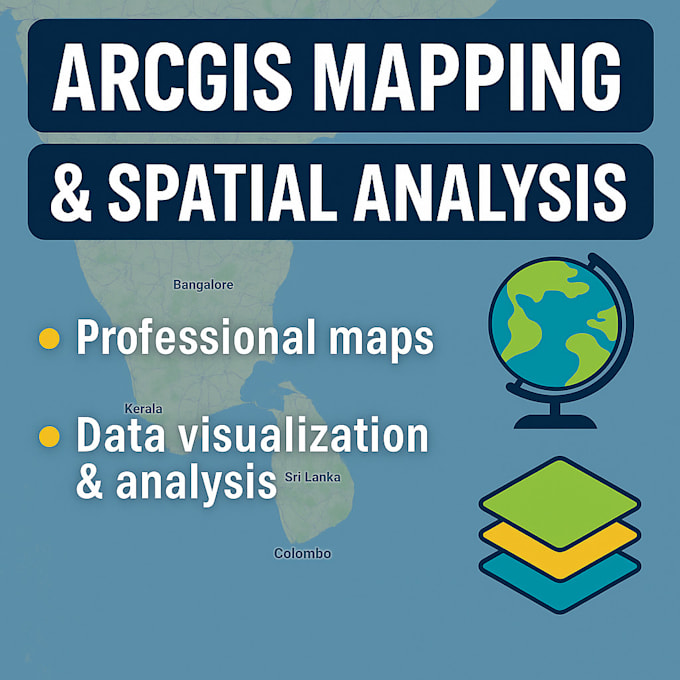
Do you need professional Remote Sensing and GIS (Geographical Information Systems) services for research, environment, agriculture, or urban planning?


I am a GIS & Remote Sensing specialist providing satellite image analysis, drone data processing, and spatial mapping solutions to support decision-making in multiple industries.

Services I Offer:


  • Remote Sensing image classification (optical, thermal, radar, LiDAR)
  • NDVI, NDWI, and vegetation/water quality indices
  • GIS mapping (land use/land cover, soil, water, forest, urban growth)
  • Drone image processing & 3D mapping
  • Spatial data analysis (vector & raster)
  • Geo-referencing, digitizing, editing & topology error correction
  • Thematic maps, DEM, flood & disaster mapping


Why choose me?

  • Professional GIS & Remote Sensing knowledge
  • Accurate & high-quality maps
  • On-time delivery
  • Tailored solutions for academic, business, or government needs


Lets turn your data into insights and maps that make a real impact.

Maak kennis met Rathnasiri

Rathnasiri

Full Stack Developer AI Engineer Data Analyst GIS

5,0(16)
  • Afkomstig uitSri Lanka
  • Lid sindssep 2024
  • Gem. reactietijd1 uur
  • Laatste levering1 maand
  • Talen

    Engels, Singalees, Tamil, Spaans, Frans, Duits, Chinees, Koreaans
I'm a passionate Full Stack Web Developer from Sri Lanka, currently pursuing a degree in Computer Science & Statistics. I have hands-on experience in web development, remote sensing, and AI. I've completed a GIS course with strong skills in ArcGIS mapping and spatial analysis. I'm also certified in AI engineering, with expertise in machine learning and deep learning. I bring technical excellence, creativity, and statistical insight to every project.

Mijn portfolio