Ik ga gis-kaarten maken python-codering georuimtelijke analyse visualisatie autocad

J
jeromeher68
J
jeromeher68
Jerome
Sommige informatie is automatisch vertaald.

Over deze dienst

Automatische vertaling

Ik ben een milieutechnisch ingenieur met degelijke en conceptuele kennis in mijn vakgebied.

De diensten die ik aanbied zijn:

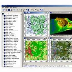
  1. Kaart maken in QGIS, Arc GIS
  2. Python script schrijven voor GIS-werk of ander data-gerelateerd werk.
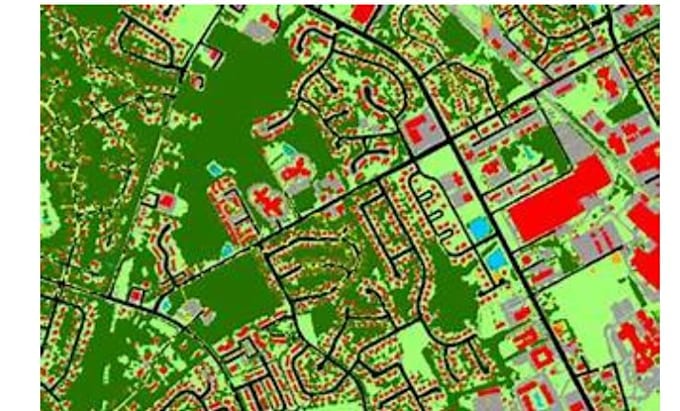
  3. Raster data analyse
  4. Web mapping
  5. Python codering voor het automatiseren van taken
  6. Python codering voor het extraheren van data uit pdf's


Tools die ik gebruik:

  1. Arc GIS, QGIS (mapping, raster analyse)
  2. Python bibliotheken:
  • GeoPandas (geospatiale data verwerken in python)
  • Folium (Web mapping)
  • Plotly
  • NumPy, Pandas etc.


Visualisaties:

  1. Bubble map
  2. Choropleth map
  3. Heat Map
  4. Grafieken
  5. Scatter plot
  6. Doughnut grafiek
  7. Pie chart etc.


Neem gerust contact met mij op.

Maak kennis met Jerome

Jerome

GIS World

  • Afkomstig uitVerenigde Staten
  • Lid sindsapr 2026
  • Gem. reactietijd1 uur
  • Talen

    Engels
Welcome to my GIS world! I'm a seasoned GIS & Remote Sensing Expert with over 8 years of experience in delivering geospatial solutions for real-world needs. In 2022, I joined forces with Creative Carbon (USA) as part of one of the largest REDD+ climate projects in the world — CHACO VIVO (Paraguay). I’ve also contributed to major EU initiatives like Copernicus Coastal Zone LCLU or CEF-Spotted.eu. With over 200 projects delivered, I’ve built strong partnerships with companies from the United States, France or Australia. Let’s transform your geospatial challenges!

Automatische vertaling

Andere Datavisualisatie diensten die ik aanbied