Door categorieën bladeren
Ontdekken
Fiverr Pro
Nederlands
$
USD


Automatische vertaling
Heb je een speciaal ontworpen GIS- of geospatiale oplossing nodig? Van eenvoudige automatiseringsscripts tot volledig functionele desktop-, online- of mobiele applicaties, ik ontwerp en bouw robuuste, effectieve en gebruiksvriendelijke oplossingen voor geospatiale data verwerking, analyse en visualisatie. Met expertise in Python, JavaScript, C, Java, R, SQL, MATLAB en toonaangevende GIS-platforms zoals ArcGIS, QGIS, Google Earth Engine en PostGIS, help ik je complexe workflows om te zetten in soepele, geautomatiseerde processen die op jouw behoeften zijn afgestemd.
Aanbiedingen:
Automatisering & Scripting
Op maat gemaakte desktop applicaties
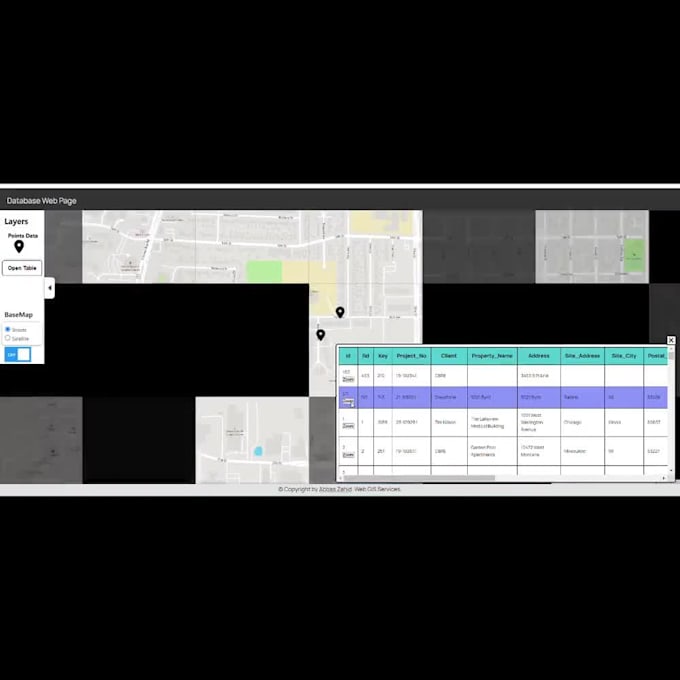
Interactieve web mapping apps
Mobiele GIS apps
Machine Learning & Remote Sensing
Specialist in AI
Talen
Automatische vertaling