Sommige informatie wordt in het Engels weergegeven.
Over mij
Welcome here,
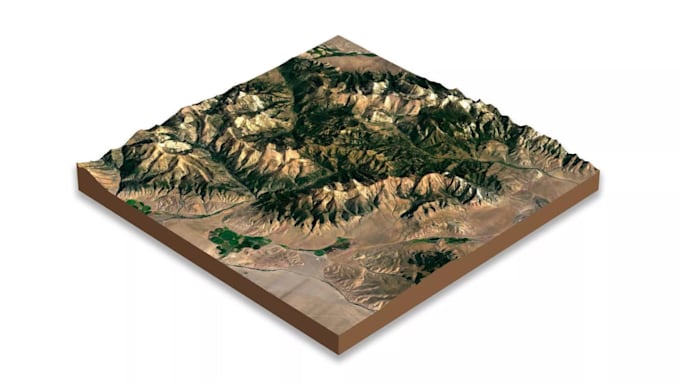
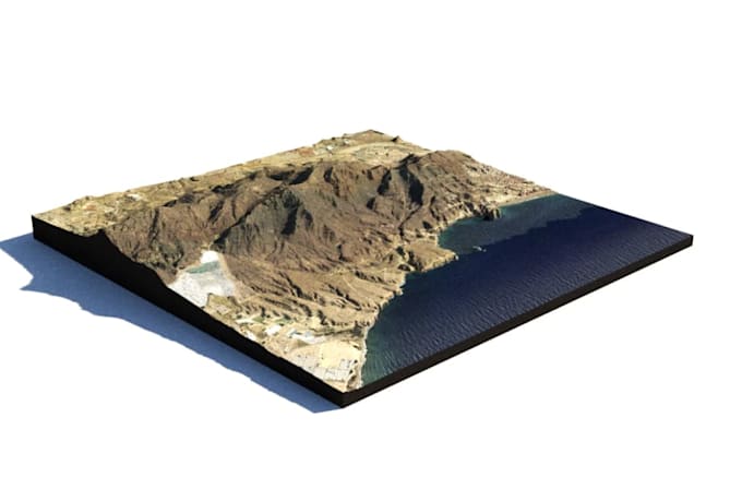
I am a 3D terrain and GIS specialist focused on transforming real-world geographic data into accurate and detailed digital landscapes. I work with DEM, DTM, Scan data, contour data, and satellite references to create realistic 3D terrain models, relief maps, and topographic designs.
My services include 3D terrain modeling, island and mountain reconstruction, landscape visualization, and print-ready STL terrain files for 3D printing.
I also create clean and optimized models suitable for board games, educational use, architecture, and visualization projects.... Lees meer