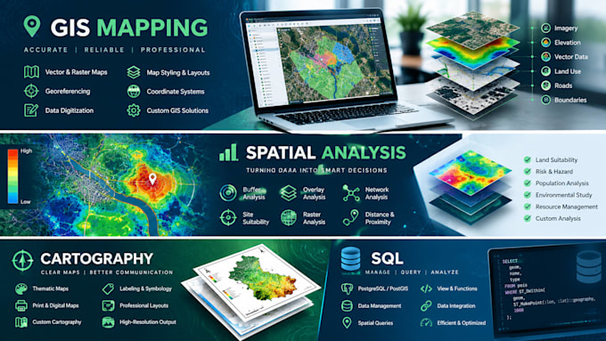
Ontdek de kracht van je data met professionele Geographic Information System (GIS)-oplossingen! Of je nu hoogwaardige kaarten, geavanceerde ruimtelijke modellering of datavisualisatie nodig hebt, ik help je om complexe ruimtelijke data om te zetten in duidelijke, bruikbare inzichten voor jouw project, bedrijf of onderzoek.
Belangrijkste diensten:
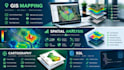
- Op maat gemaakte kaartontwerpen: Creatie van statische, webklare of interactieve kaarten (cartografie, thematische kaarten, routingkaarten).
- Geavanceerde ruimtelijke analyse: Bufferanalyse, overlay-analyse, nabijheidsanalyse, hotspot-analyse en locatiegeschiktheidstudies.
- Dataconversie & beheer: Conversie tussen formaten (Shapefile, GeoJSON, KML, CAD, CSV, Excel, PDF naar GIS).
- Remote sensing & satellietbeelden: Landbedekkingsclassificatie, veranderingdetectie en rasteranalyse (bijvoorbeeld NDVI).
- Geocoding: Fysieke adressen en coördinaten nauwkeurig op ruimtelijke lagen plaatsen.
Software expertise:
- QGIS
- ArcGIS / ArcGIS Pro
- Google Earth / Google Earth Engine
Waarom voor mij kiezen?
- Nauwkeurigheid & precisie: Hoge aandacht voor detail voor professionele resultaten.
- Snelheid: Tijdige levering zonder concessies te doen aan kwaliteit.
- Duidelijke communicatie: Regelmatige updates gedurende de hele projectfase.
Geen