Ik voer vegetatieanalyse en ndvi-mapping uit met behulp van rs

M
mahwishmuzam593
M
mahwishmuzam593
Mahwish
Sommige informatie is automatisch vertaald.

Over deze dienst

Automatische vertaling

Ik ben gespecialiseerd in remote sensing-gebaseerde vegetatiemonitoring, landbedekkingsclassificatie en spatio-temporale verandering detectie met behulp van ArcGIS en QGIS.

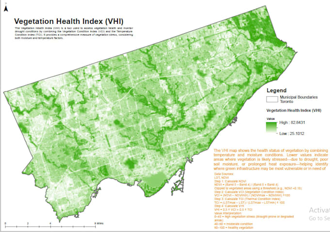
Of het nu gaat om onderzoek, landbouw, bosmonitoring of klimaatstudies, ik lever hoogkwalitatieve vegetatiekaarten, visuals en analytische samenvattingen.


Wat ik aanbied

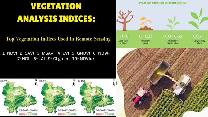
  • NDVI, SAVI en EVI indexberekeningen
  • Time-Series Vegetatieverandering detectie
  • Landbedekkingsclassificatie (gesuperviseerd/ongesupert)
  • Gewasgezondheid & biomassanalyse
  • Satellietbeelden verwerken (Landsat, Sentinel, MODIS)
  • Hoge resolutie kaartlay-outs (PDF/JPEG)
  • Korte analytische samenvatting/rapport


Waarom voor mij kiezen

  • ️ Professionele GIS & remote sensing specialist
  • ️ 100% op maat gemaakte analyse op basis van jouw gebied & data
  • ️ Snelle levering + revisies totdat je tevreden bent
  • ️ Ondersteuning bij academische, onderzoeks- en professionele projecten


Voor meer voorbeelden van mijn GIS- en remote sensing-werk,

bezoek mijn Fiverr profielportfolio.

Maak kennis met Mahwish

Mahwish

AI GIS Geospatial Solutions Expert

  • Afkomstig uitPakistan
  • Lid sindsjul 2021
  • Talen

    Engels, Urdu
Finding the right GIS professional can be challenging. If you're looking for someone who delivers accurate, high-quality spatial solutions with clear communication and on-time delivery, you're in the right place. I am a GIS & Cartography Specialist with 13+ years of professional experience in Geographic Information Systems (GIS), Cartographic Design, Spatial Analysis, Remote Sensing, and Web GIS development. I combine traditional GIS expertise with modern AI-powered workflows to automate repetitive tasks, improve accuracy, and deliver faster results.

Automatische vertaling

Mijn portfolio

Gerelateerde tags