Door categorieën bladeren
Ontdekken
Fiverr Pro
Nederlands
$
USD
Automatische vertaling
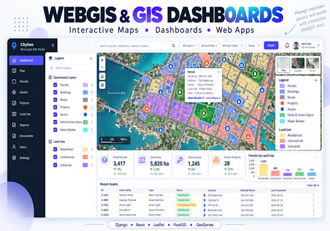
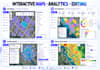
Heb je een professionele interactieve WebGIS-toepassing of GIS-dashboard nodig?
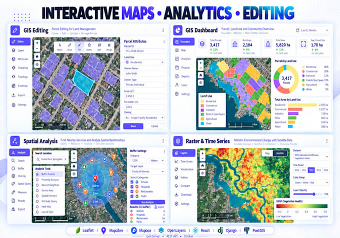
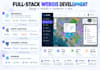
Ik ontwikkel responsieve geospatiale webapplicaties, variërend van interactieve kaarten tot complete full-stack WebGIS-platforms.
Diensten omvatten:
Technologieën: Django, Python, JavaScript, React, Leaflet, MapLibre, Mapbox, OpenLayers, PostGIS en GeoServer.
Neem contact met mij op voordat je een complex full-stack of multi-user WebGIS-project bestelt.
GIS and Remote Sensing Analyst
Talen
Automatische vertaling
Automatische vertaling
Kun je een complete Django WebGIS-applicatie bouwen?
Ja. Ik ontwikkel full-stack WebGIS-systemen met Django/GeoDjango, PostgreSQL/PostGIS, REST APIs en interactieve JavaScript-kaartbibliotheken.
Welke mapping bibliotheken gebruik je?
Afhankelijk van het project werk ik met Leaflet, MapLibre, Mapbox, OpenLayers en ArcGIS JavaScript technologieën.
Kun je een WebGIS applicatie verbinden met PostGIS?
Ja. Ik kan ruimtelijke databases ontwerpen, PostgreSQL/PostGIS integreren en de database verbinden met Django of andere geschikte backend APIs.
Kun je GeoServer integreren?
Ja. Ik kan GeoServer integreren voor WMS, WFS, getilede lagen, styling en PostGIS-ondersteunde ruimtelijke services.
Kun je de WebGIS applicatie uitrollen?
Ja. Deployment ondersteuning is beschikbaar voor geschikte VPS/cloud omgevingen. Neem contact met mij op voordat je bestelt als productie-uitrol nodig is.
Maak je ArcGIS Online dashboards?
Ja. Ik kan ook werken met ArcGIS Online, Dashboards en Experience Builder wanneer een Esri-gebaseerde oplossing de voorkeur heeft.
Kun je dashboards maken met grafieken en statistieken?
Ja. Dashboards kunnen kaarten gekoppelde grafieken, KPI-kaarten, tabellen, filters, statistieken en interactieve selecties bevatten.
Kunnen gebruikers GIS-functies toevoegen of bewerken?
Ja. Aangepaste systemen ondersteunen tekenen, bewerken, verwijderen en bijwerken van ruimtelijke functies en hun attributen.