Door categorieën bladeren
Ontdekken
Fiverr Pro
Nederlands
$
USD
Automatische vertaling
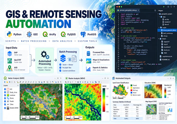
Ben je het zat om dezelfde GIS- of remote sensing-taken handmatig te herhalen?
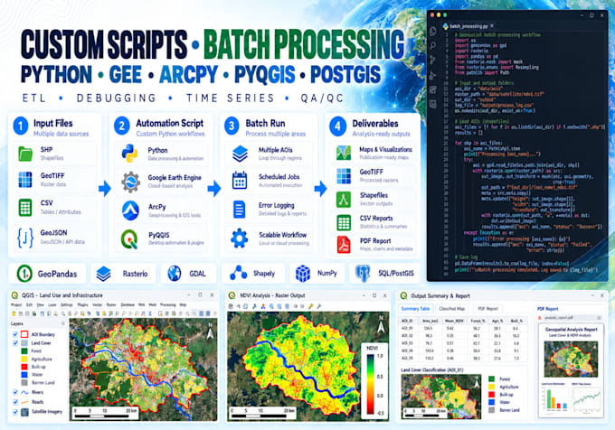
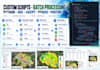
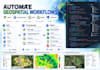
Ik ontwikkel herbruikbare geospatiale automatiseringsscripts, tools en verwerkingspijplijnen met behulp van Python, Google Earth Engine, ArcPy, PyQGIS en ruimtelijke databases.
Ik kan automatiseren:
Programmeer talen: Python, JavaScript (GEE), SQL/PostGIS en R indien nodig.
Je ontvangt schone, herbruikbare en gedocumenteerde broncode die is ontworpen rond jouw workflow.
Neem contact met mij op voordat je complexe plugins, pipelines of database automatisering bestelt.
GIS and Remote Sensing Analyst
Talen
Automatische vertaling
Automatische vertaling
Kun je mijn bestaande handmatige GIS-workflow automatiseren?
Ja. Deel de huidige stappen, voorbeeld input en verwachte output, en ik kan geschikte workflows omzetten in herbruikbare scripts of tools.
Kun je een bestaand Python, GEE, ArcPy of PyQGIS script repareren?
Ja. Ik kan bestaande geospatiale scripts debuggen, optimaliseren en uitbreiden.
Kan het script automatisch veel bestanden verwerken?
Ja. Batch-verwerking en folder-gebaseerde workflows behoren tot de belangrijkste diensten in deze dienst.
Kun je QGIS-plugins of ArcGIS-tools bouwen?
Ja. PyQGIS-plugins/processing tools en ArcPy/Python-toolboxes zijn beschikbaar voor geschikte projecten. Complexe tools vereisen een aangepaste offerte.
Automatiseer je Google Earth Engine?
Ja. Ik ontwikkel herbruikbare JavaScript- of Python-workflows voor satellite processing, indices, classificatie, tijdreeksen en exports.