Door categorieën bladeren
Ontdekken
Fiverr Pro
Nederlands
$
USD

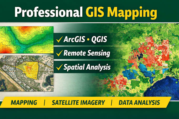
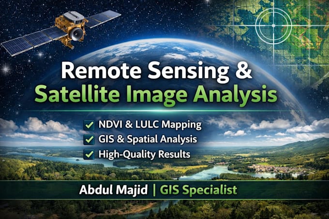
GIS Specialist
Skills
Bekijk mijn diensten
GIS Manager
Bahria Town • Fulltime
Aug 2023 - Aug 2025 • 2 yrs
• Led geospatial database development and mapping workflows for large-scale planning projects. • Integrated AutoCAD, UAV, and GPS datasets to enhance mapping precision and visualization. • Delivered cadastral and thematic maps for planning, zoning, and land-use management. • Streamlined data validation workflows, improving spatial accuracy by 25%. • Supported survey and planning teams in multi-disciplinary projects.
GIS Analyst
Directorate of Soil & Water Conservation Khyber Pakhtunkhwa • Fulltime
Aug 2020 - Jul 2023 • 2 yrs 11 mos
Conducted GIS-based soil erosion, hydrological, and watershed modeling using RUSLE and AHP methodologies. Designed and produced hazard and land suitability maps supporting provincial decision making. Trained over 50 field officers in GIS and remote sensing tools for water conservation applications. Collaborated with engineers and hydrologists to optimize resource management planning.
