m
marsyal

Ade Rajat

@marsyal

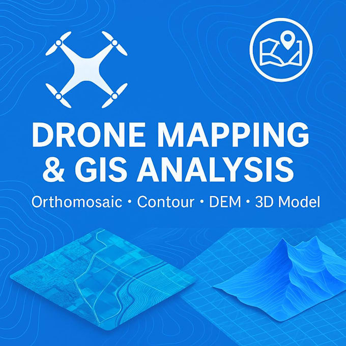
Mining Surveyor GIS And Drone Data Specialist

Indonesië
Sommige informatie wordt in het Engels weergegeven.
Over mij
Hi, I’m a Mining Surveyor with strong experience in Surpac, ArcGIS, and drone data processing. I specialize in creating accurate maps, 3D models, and spatial analysis for mining and land development projects. What I can help you with: * Topographic and contour maps * Drone orthomosaic and DEM processing * Surpac modeling & design * Sediment pond monitoring * GIS analysis and map layout design I deliver clear results, fast communication, and professional-quality output. Feel free to contact me before ordering!... Lees meer

Skills

m
marsyal
Ade Rajat
offline • 

Bekijk mijn diensten

Geografisch informatiesysteem (GIS)
I will create drone mapping, gis analysis, and contour maps for your project

Werkervaring

Mining Surveyor

PT. Ang & Fang Brother

Dec 2021 - Present4 yrs 5 mos

Conduct drone data processing, including orthomosaic, DSM, DTM, and contour generation Create professional map layouts (site plan, access map, mining boundary map) Perform GIS analysis using ArcGIS and ArcGIS Pro Process survey data and generate 3D models Perform volume calculations and mine design support Field surveying, topographic mapping, and data verification Photogrammetry processing using Agisoft PhotoScan