Door categorieën bladeren
Nederlands
$
USD
Koppel je AI aan Fiverr
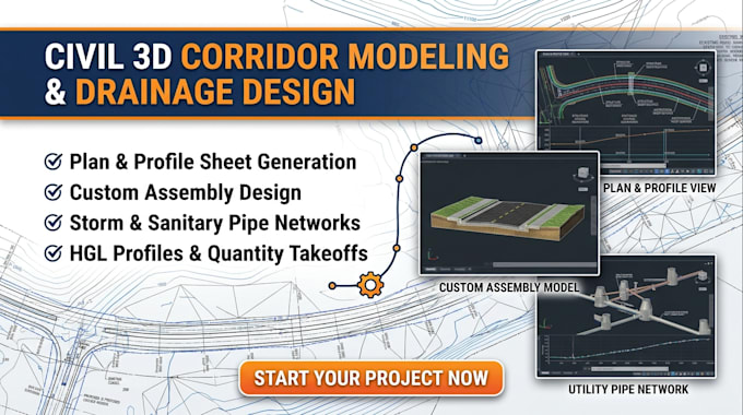
Need precise, construction-ready Civil 3D corridor modeling, complex plan and profile sheets, or fully modeled utility pipe networks? I specialize in linear infrastructure design for road and utility projects, serving civil engineers, developers, and contractors.
I leverage AutoCAD Civil 3D to transform existing topographic data into dynamic, fully coordinated 3D models and professional sheet sets.
Services Offered:
Why Hire Me:
Contact me today with your survey files to begin before placing order!

Projectschaal:
Wijk
Type gebouw:
Commercieel
•
Industrieel
•
Infrastructuur
Materiaalspecialiteit:
Beton
•
Overige
Laat het de freelancer weten als je voorkeuren voor of zorgen hebt over het gebruik van AI-tools voor het voltooien en/of leveren van je bestelling.
What information is needed to begin the corridor modeling?
Please provide the existing topographic survey (DWG), boundary Plat, roadway vertical/horizontal design criteria, and typical cross-sections or assembly requirements.
Do you use dynamic "Pipe Networks" in Civil 3D for utility design?
Yes. All storm and sanitary utility systems are created using Civil 3D Pipe Networks, which are fully dynamic. These objects link the plan view with the profile view, ensuring that structure elevations and pipe slopes update automatically as the design changes.
What deliverables will I receive for Plan and Profile sheet production?
Depending on the package selected, you will receive organized DWG sheet files (XREF-structured), PDF sheet sets (ready for submittal), and LandXML dynamic data exports.
How do you handle complex corridor modeling, such as intersections or cul-de-sacs?
Intersections, cul-de-sacs, and road widening require advanced corridor manipulation and targeting. This complexity is standard for linear infrastructure projects and is included in the Standard and Premium packages.
