Door categorieën bladeren
Ontdekken
Fiverr Pro
Nederlands
$
USD


I am a skilled GIS QA/QC Analyst with 2 years of experience in Geographical Information Systems planning and development. My expertise includes strong communication and problem-solving abilities, allowing me to effectively meet the needs of clients. As an efficient and professional worker, I am committed to further developing my skills and utilizing my abilities and vision to serve society through a dynamic and challenging organization.
I offer a range of services, including:
Legal land description
Cadastral boundary plotting and delineation
Distance and variance computation
Coordinate generation
Coordinate system transformation
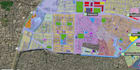
Cartographic map creation
Additionally, I specialize in:
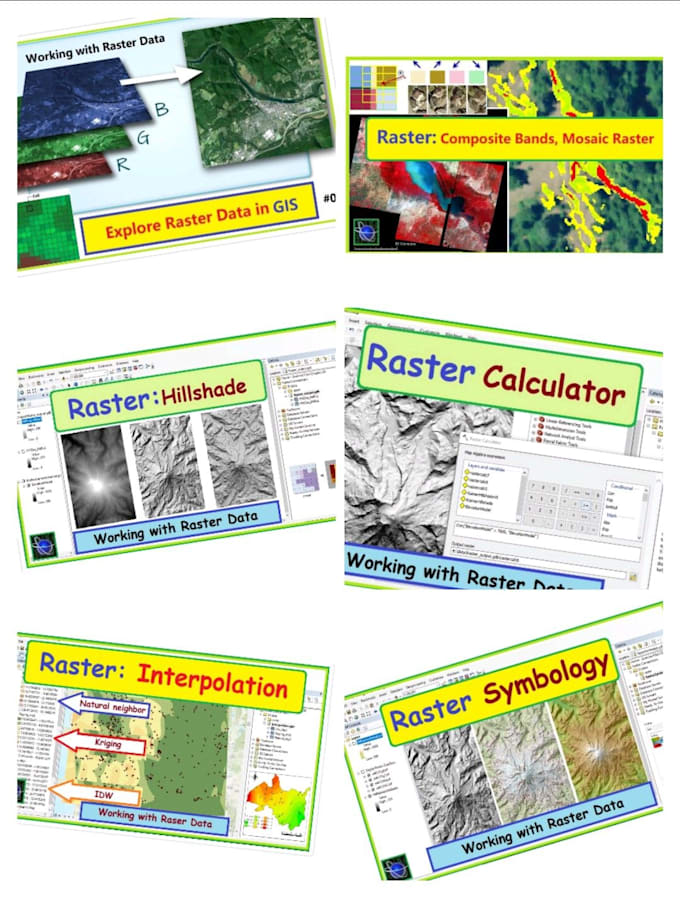
Spatial analysis using Google Earth Engine
Digitization of vector data (points, lines, and polygons)
Prediction mapping
Hydrology analysis
Satellite image processing
Mapping on OpenStreetMap
Google earth tasks and more.
If you're in need of a GIS consultant for your projects, please don't hesitate to contact me. I will provide accurate and efficient service.
GIS Engineer
Talen