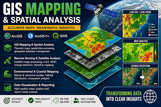
I will create professional GIS maps using ArcGIS and QGIS
Bangladesh
Engels, Bengaals
Sommige informatie wordt in het Engels weergegeven.
Over mij
Hi, I am an Oceanography student skilled in GIS, Remote Sensing, and spatial analysis. I have experience in satellite data analysis, LULC classification, shoreline mapping, and environmental assessment. I also use R and MATLAB for data processing and visualization. I deliver accurate, clean, and publication-ready maps for academic and professional use with clear communication and timely delivery.
I focus on:
• GIS & Remote Sensing mapping
• Satellite image analysis
• Environmental and coastal mapping
• Data visualization and spatial analysis
• Research-oriented map preparation... Lees meer