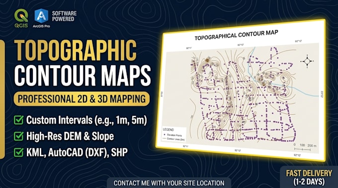
Ik maak hoogwaardige resolutie topografische contourkaarten met QGIS

M
moulick13
M
moulick13
Md Alzaber
Sommige informatie is automatisch vertaald.

Over deze dienst

Automatische vertaling

Gig Beschrijving

Ben je op zoek naar een nauwkeurige, publicatieklare Topografische Contourkaart of 3D Hoogtemodel voor jouw locatie, stroomgebied of GIS-project? Ik kan je daarbij helpen.

Ik ben gespecialiseerd in GIS en Ruimtelijke Data Analyse met uitgebreide ervaring in het verwerken van DEM, SRTM en LiDAR data om hoogresolutie hoogte- en contourkaarten te maken met QGIS en Google Earth Engine.

Diensten die ik aanbied in deze gig:

  • Topografische contourkaarten met QGIS
  • Aangepaste contourintervallen (bijvoorbeeld 1m, 5m, 10m)
  • Digitale hoogtemodellen (DEM / DTM / DSM)
  • Hellingshoek, aspect en heuvelschaduw mapping
  • Coördinatenreferentiesysteem (CRS) & rasteropzet
  • Compleet kaartlay-out met schaalbalk, legenda, noordpijl en raster

Wat je ontvangt:

  • Hoogwaardige export (PDF, PNG, JPEG)
  • GIS vector data (Shape files, GeoJSON, KML) - Optioneel
  • Bestanden compatibel met AutoCAD (DXF/DWG) - Optioneel

Waarom kiezen voor mij?

  • Geospatiale achtergrond: Hoge expertise in Geo-Informatica en GIS Analyse.
  • Nauwkeurigheid & kwaliteit: Schone geometrieën, standaard cartografie en hoge aandacht voor detail.
  • Snelle communicatie: Vlotte reactie en professionele levering.

Neem contact met mij op met je locatie/coördinaten voordat je een bestelling plaatst om je projectwensen te bespreken

Maak kennis met Md Alzaber

Md Alzaber

Never Give Up

  • Afkomstig uitBangladesh
  • Lid sindsmrt 2023
  • Gem. reactietijd1 uur
  • Talen

    Engels, Hindi, Duits, Spaans
I have three years of experience in the field of GIS and Remote sensing. I am good command on spatial data handling on Arc GIS pro, QGIS, Google earth pro and google earth engine platform.I am used to Map design digitizing maps, spatial database, preprocessing data, supervised and unsupervised classification, land use land cover map detection and analysis, population density map, Digital image classification and so on relevant on Remote Sensing Applications such as Satellite Image Processing,DEM, Land Use Classification, Temporal Data Analysis. Thank you.

Automatische vertaling