Door categorieën bladeren
Ontdekken
Fiverr Pro
Nederlands
$
USD



Automatische vertaling
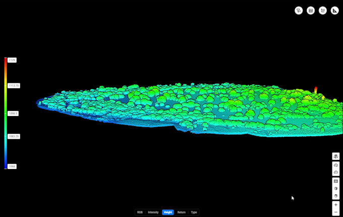
Professionele drone photogrammetrie verwerking om nauwkeurige orthomosaïken, DEMs, point clouds, contouren en GIS-gereed kaartproducten te maken.
Drone Survey, GIS and Remote Sensing Specialist
Talen
Automatische vertaling
Automatische vertaling
Welke drones ondersteun je?
DJI Mavic, Phantom, Matrice, Wingtra, Autel en andere UAV-systemen. Ik kan ook beelden verwerken die met RTK of PPK workflows zijn vastgelegd.
Welke software gebruik je?
Pix4D, Agisoft Metashape, DJI Terra, QGIS, ArcGIS Pro en CloudCompare, afhankelijk van de projectvereisten.
Welke outputs kun je leveren?
Orthomosaïeken, DEMs, DTM's, DSM's, point clouds (LAS/LAZ), contouren, GeoTIFFs, SHP, GeoJSON, KML en PDF-kaartlay-outs.
Kun je LiDAR-data verwerken?
Ja. Ik verwerk LAS en LAZ point clouds, classificeer grond- en niet-grondpunten, genereer terreinmodellen en lever GIS-geschikte outputs.