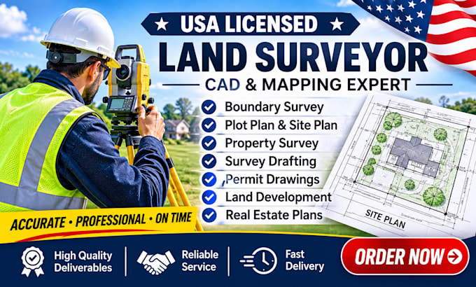
USA Licensed Land Surveyor, CAD, GIS and Mapping Specialist
Verenigde Staten
Engels
Sommige informatie wordt in het Engels weergegeven.
Over mij
I am Patrick Yates, a USA licensed Professional Land Surveyor (PLS) and mapping specialist. With years of field and geomatics experience, I provide high accuracy remote surveying solutions, legal deed plotting, and comprehensive GIS real estate due diligence. I specialize in turning complex metes & bounds legal descriptions into precise digital maps, analyzing flood zones, and drafting conceptual site plans. Whether you are an investor, developer, or homeowner, expect elite, code compliant property insights and actionable data to protect your land investments.... Lees meer