Door categorieën bladeren
Ontdekken
Fiverr Pro
Nederlands
$
USD


_compressed_j9kgby.jpg)
As a Geodesy and Geomatics Engineering graduate, I have completed various geospatial projects for clients across sectors, focusing on accurate data processing and map visualization. My key project experiences include:
GNSS Data Processing: Post-processed raw GNSS observations (RINEX, raw) into precise coordinates tailored to client-specific coordinate systems (UTM, local grids, etc.).
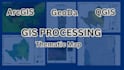
Thematic Mapping: Created thematic maps (land use, zoning, infrastructure, etc.) from tabular and vector data using GIS tools (QGIS, ArcGIS)
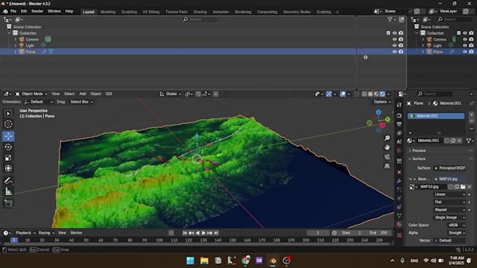
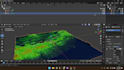
Photogrammetry: Process the raw photo into orthophoto.
Site Planning: Extracted coordinate datasets into polygonal boundaries to define operational areas in mining and construction site plans.
Raster Conversion: Transformed CSV-based attribute data into spatial raster layers using interpolation and classification techniques for better spatial insight.
Map Layout & Delivery: Produced clean, professional map layouts using AutoCAD and GIS tools, aligned with client specifications for scale, legend, symbology, and output format.
Each project is delivered with a focus on accuracy, clarity, and usabilityready for decision-making, reports, or publication
Precision GIS Solutions for Your Spatial Needs
Talen
What file types can I send for you to create the topographic map?
You can send survey data in formats such as CSV, TXT (with coordinates and elevations), DXF, SHP, or DEM. If you’re unsure, feel free to contact me first.
Can you work with data from GNSS RTK or Total Station surveys?
Absolutely! I regularly work with both GNSS RTK and total station data. Just make sure the coordinates and elevation data are properly formatted.
What if I want a specific legend, color style, or layout format?
No problem! You can send me your specifications or a sample, and I’ll match your layout style as closely as possible.
Will I get the editable CAD file?
Yes, you'll receive the final DWG (AutoCAD) file, and optionally PDF or image format for easy printing or sharing.
Do you provide contour generation from DEM or point cloud?
Yes, I can generate accurate contour lines from your DEM or point data using GIS and CAD tools.
Can I request revisions?
Yes! I offer revisions to make sure the final map meets your expectations. The number of revisions depends on the selected package.
| (1) | ||
| (0) | ||
| (0) | ||
| (0) | ||
| (0) |
annalandis

Verenigde Staten
Erison was outstandingly professional, diligent, timely, and understanding. I had a difficult request and Erison made sure we talked through what I was asking for, submitted many questions to be thorough, and allowed me to be a part of achieving the end result. I can’t recommend Erison enough! My project...
US$ 50-US$ 100
Prijs
2 dagen
Looptijd

Reactie van de freelancer
| (1) | ||
| (0) | ||
| (0) | ||
| (0) | ||
| (0) |
annalandis
Verenigde Staten
Erison was outstandingly professional, diligent, timely, and understanding. I had a difficult request and Erison made sure we talked through what I was asking for, submitted many questions to be thorough, and allowed me to be a part of achieving the end result. I can’t recommend Erison enough! My project...
US$ 50-US$ 100
Prijs
2 dagen
Looptijd
Reactie van de freelancer