Door categorieën bladeren
Nederlands
$
USD
Koppel je AI aan Fiverr


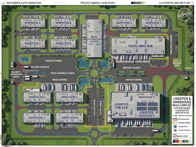
Need a warehouse wayfinding map or industrial facility navigation plan that helps drivers, visitors, and staff locate entrances, loading docks, buildings, and operational zones?
I design warehouse navigation maps, factory directories, logistics site maps, and industrial facility wayfinding layouts for warehouses, manufacturing plants, distribution centers, and industrial parks.
I can transform your existing site plan, aerial image, CAD drawing, or sketch into a clear, easy-to-follow navigation map.
WHAT I OFFER:
WHY CHOOSE ME?
Message me before ordering to discuss your facility and map requirements.
Laat het de freelancer weten als je voorkeuren voor of zorgen hebt over het gebruik van AI-tools voor het voltooien en/of leveren van je bestelling.
Map Design
Talen
Can you create a warehouse map from an aerial image or site plan?
Yes. I can use supplied aerial imagery, existing CAD drawings, PDFs, or sketches to create a warehouse navigation map.
Can you include loading docks and truck routes?
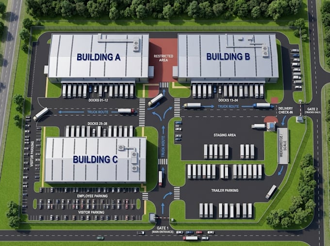
Yes. I can display loading dock locations, approved truck routes, access roads, and directional arrows based on your supplied information.
Can you create maps for industrial parks with multiple buildings?
Yes. I can design navigation maps for industrial parks, logistics centers, factories, and distribution facilities with multiple buildings.
Can you include warehouse zones and department labels?
Yes. I can label warehouse zones, departments, entrances, parking areas, and other relevant locations.
Can you update an existing warehouse navigation map?
Yes. I can revise existing maps to reflect updated building numbers, entrances, loading docks, approved routes, and facility information.