Sommige informatie wordt in het Engels weergegeven.
Over mij
I transform raw drone imagery (RAW/JPG) into high-precision, engineering-grade assets for construction, topography, agriculture, and GIS analysis.
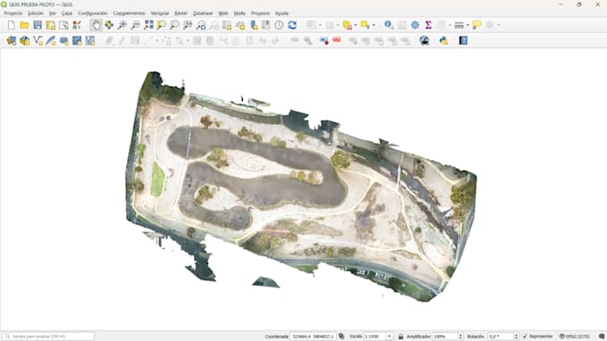
Utilizing professional tools like WebODM and QGIS with hardware acceleration, I deliver accurate Orthomosaics (.tif), Dense Point Clouds (.las/.laz), Digital Elevation Models (DSM/DTM), and 3D textured meshes (.obj). All communication is strictly handled via written chat for maximum contract clarity and record-keeping. I hold an official aviation safety background (ARN CASA), ensuring a deep understanding of GSD, overlaps, and spatial metadata.... Lees meer