Door categorieën bladeren
Ontdekken
Fiverr Pro
Nederlands
$
USD

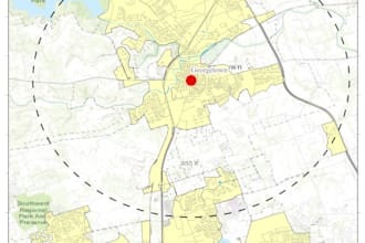
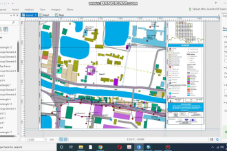
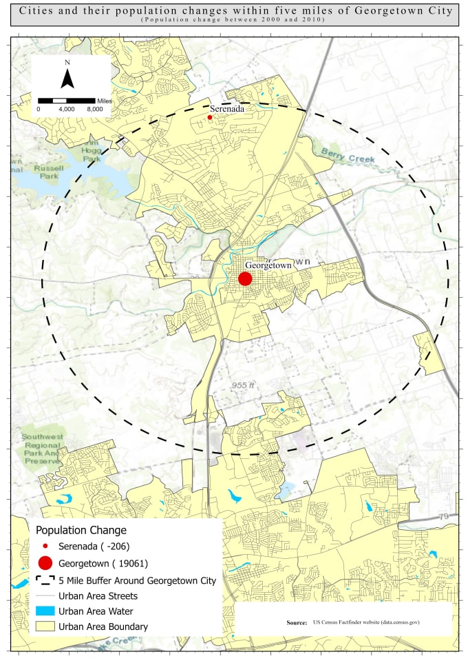
GIS and Data Visualization Specialist
Skills
Bekijk mijn diensten
Project Officer
SWEEP Project • Fulltime
Jun 2020 - Aug 2021 • 1 yr 2 mos
• Prepare GIS database of Household locations including customer attribute information. • Prepare Web GIS map of Hot, Warm, and Cold customer segments for FSM services in the Paurashava area, and hosted the map on Google My Maps server for easy tracking by the FSM entrepreneur and project team members. • Prepare relevant GIS maps and monitoring reports in timely manner as per requirement of project activities. •Design questionnaires in Kobo collect/ODK/Magpi and monitor kobo based data collection. •Support in operational planning and contribute to effective implementation of the project activities.
Assistant GIS Specialist
Geo Planning for Advanced Development (GPAD) • Fulltime
Nov 2018 - Jun 2020 • 1 yr 7 mos
• Prepare GIS base map of Existing features. • Supervising field data collection of quantitative and spatial data. • Data base preparation, Digitization of physical features from high resolution Photogrammetric images. •Prepare Supervised Land used classification of satelite images for Contingency Plan using Remote Sensing. • Conducting hazard and disaster risk assessments in ArcGIS software. • Design questionnaires in Kobo collect/ODK/Ona/Magpi/QField and monitor kobo based data collection. • Conduct Focus group discussion (FGD), Key informant interviews (KII) • Prepare detailed base map of existing physical features of the project area.
| (84) | ||
| (1) | ||
| (0) | ||
| (0) | ||
| (0) |
martin0813_

Verenigde Staten
He went above and beyond and even accepting last minute changes to better help the project
Reactie van de freelancer

abdirazakosman

Somalië
Reactie van de freelancer

iammahid
Terugkerende klant

Verenigd Koninkrijk
Fantastic working with! I definitely recommend getting on a call - he was incredibly responsive.
Reactie van de freelancer

moklasar1305

Bangladesh
Very talented seller and most perfect for doing gis works. I would come back with him surely. Thanks
Reactie van de freelancer
semionkoupercha

Canada
Was quick to answer me and helped me with my problem. Got it perfect. He was able to use arcgis as promised. Thanks again
Reactie van de freelancer