Door categorieën bladeren
Ontdekken
Fiverr Pro
Nederlands
$
USD


Automatische vertaling
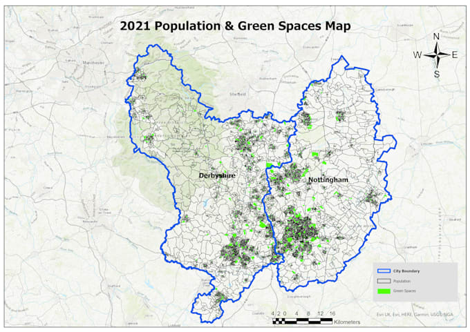
Ik bied professionele geospatiale analyse, kaartbouw en datavisualisatie diensten aan als een professionele GIS-analist met een stevige basis in aardrijkskunde. Ik help klanten complexe ruimtelijke data om te zetten in begrijpelijke, bruikbare inzichten door gebruik te maken van geavanceerde tools zoals ArcGIS en QGIS. Of je nu gedetailleerde kaarten, ruimtelijke analyse of gespecialiseerde GIS-oplossingen nodig hebt, ik lever betrouwbare, hoogwaardige diensten die zijn afgestemd op jouw specifieke wensen. Laten we samen jouw project uitvoeren met precisie en vakmanschap.
GIS Automation and Deveopler
Talen
Automatische vertaling
Automatische vertaling
Hoe ga ik aan de slag met jullie service?
Klik gewoon op de knop "Bestelling plaatsen", geef details over het type kaart dat je nodig hebt, en upload relevante data. Ik bekijk je aanvraag en ga aan de slag met het maken van jouw professionele GIS-kaart!
Welke data moet ik aanleveren voor mijn kaart?
Je moet relevante data-bestanden aanleveren (zoals shapefiles, CSV-bestanden of GeoJSON) en eventuele specifieke attributen of lagen die je in de kaart wilt opnemen. Als je een specifieke basismap of stijl in gedachten hebt, deel die details dan ook.
Wat als ik geen GIS-data heb maar wel een kaart wil?
Ik kan helpen bij het maken van kaarten met behulp van openbaar beschikbare datasets of je begeleiden bij het verzamelen van de benodigde data. Laat me weten wat je zoekt, en ik leid je door het proces.
Wat als ik revisies nodig heb na ontvangst van mijn kaart?
Ik hanteer een revisiebeleid om ervoor te zorgen dat je tevreden bent met het eindproduct. Je kunt na ontvangst van de eerste kaart aanpassingen vragen, en ik voer de nodige wijzigingen door binnen de afgesproken scope van het project.
Hoe lang duurt het om mijn kaart te voltooien?
De oplevertijd hangt af van de complexiteit van je project en de hoeveelheid data. Meestal kun je verwachten dat je kaart binnen 3-7 dagen klaar is. Ik geef een meer accurate planning zodra ik je wensen heb beoordeeld.
In welke formaten ontvang ik mijn uiteindelijke kaart?
Je ontvangt je uiteindelijke kaart in je voorkeursformaat, zoals PDF, JPEG of TIFF. Daarnaast kan ik de originele GIS-projectbestanden leveren indien nodig.
Kun je interactieve kaarten maken?
Ja! Ik kan interactieve webkaarten maken met tools zoals ArcGIS Online of QGIS met plugins. Laat me weten wat je doelen zijn voor interactiviteit, en ik maak het mogelijk.
Bieden jullie ondersteuning nadat het project is afgerond?
Ja! Ik bied beperkte ondersteuning na het project om je te helpen je kaart te begrijpen en vragen te beantwoorden over het gebruik ervan in je GIS-toepassingen.
Waarom zou ik uw dienst verkiezen boven andere?
Ik heb uitgebreide ervaring met het gebruik van ArcGIS Pro, ArcMap en QGIS om hoogwaardige GIS-kaarten te maken. Ik focus op detail en esthetiek, zodat het eindproduct zowel informatief als visueel aantrekkelijk is.
Welke soorten GIS-kaarten kun je maken?
Ik kan verschillende soorten GIS-kaarten maken, waaronder topografische kaarten, thematische kaarten, heatmaps en interactieve webkaarten. Laat me weten wat je specifieke wensen zijn, en ik pas de kaart aan jouw behoeften aan!