Door categorieën bladeren
Ontdekken
Fiverr Pro
Nederlands
$
USD


Automatische vertaling
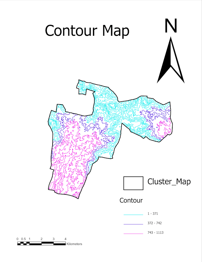
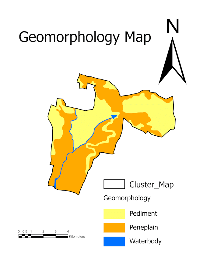
Ik bied professionele GIS-bewerking, Remote Sensing en geospatiale analyse diensten voor milieuprojecten, waterbeheer en natuurlijke hulpbronnen. Mijn expertise omvat watershed-analyse, LULC-bewerking, ruimtelijke analyse, DEM-analyse, thematische kaarten en cartografisch ontwerp. Ik lever nauwkeurige, data-gedreven geospatiale oplossingen ter ondersteuning van planning, onderzoek en duurzame ontwikkeling.
GSI Specialist
Talen
Automatische vertaling
Automatische vertaling
Welke informatie heb je nodig om mijn GIS-project te starten?
Gelieve de locatie van het studiegebied, projectvereisten, gewenste outputformaat en beschikbare data zoals shapefiles, GPS-punten, satellietbeelden of andere GIS-datasets te verstrekken. Als je geen data hebt, kan ik je begeleiden met geschikte opties.
Wat voor soort GIS-diensten bied je aan?
Ik bied GIS-bewerking, ruimtelijke analyse, remote sensing, LULC-bewerking, watershed-analyse, DEM-analyse, drainage-analyse, thematische kaarten en professionele cartografische kaartvoorbereiding.
Kun je kaarten maken voor rapporten, onderzoek en presentaties?
Ja, ik maak hoogwaardige GIS-kaarten en visualisaties die geschikt zijn voor technische rapporten, onderzoeksartikelen, projectdocumentatie, presentaties en planningsdoeleinden.
Kun je watershed- en hydrologische analyse uitvoeren?
Ja, ik bied watershed-afbakening, drainage-netwerkanalyse, DEM-gebaseerde hydrologische analyse en kaartoplossingen voor watershed-ontwikkeling en natuurlijke hulpbronnenbeheer projecten.
Bied je Landgebruik/Landbedekkings (LULC) mapping aan?
Ja, ik verzorg LULC-classificatie en mapping met GIS en remote sensing technieken om landpatronen en milieuwijzigingen te analyseren.
Welke GIS-software en technieken gebruik je?
Ik gebruik professionele GIS- en remote sensing technieken voor ruimtelijke analyse, mapping, gegevensverwerking en visualisatie. Ook bied ik 3D-modellering en visualisatie diensten aan met Autodesk AutoCAD 3D en Autodesk Maya.
Kun je werken met mijn bestaande GIS-gegevens?
Ja, ik kan bestaande GIS-datasets zoals shapefiles, rastergegevens, DEMs en satellietbeelden verwerken, analyseren, bewerken en verbeteren.
Bied je aangepaste GIS-oplossingen aan?
Ja, ik bied op maat gemaakte oplossingen gebaseerd op jouw projectbehoeften, inclusief milieumapping, watershed planning, ruimtelijke analyse en geospatiale visualisatie.
Wat krijg ik na afronding van het project?
Je ontvangt de uiteindelijke GIS-uitvoer volgens jouw wensen, zoals hoge-resolutie kaarten, GIS-bestanden, analyseresultaten en visualisaties voor rapportages.
Waarom zou ik voor jouw GIS-dienst kiezen?
Ik bied nauwkeurige, betrouwbare en professionele geospatiale oplossingen met praktische ervaring in GIS-bewerking, watershed-ontwikkeling, remote sensing en milieuanalyse.