Ik voer topografie survey en UAV mapping uit

S
savant_pravin
S
savant_pravin
Pravin Savant
Sommige informatie is automatisch vertaald.

Over deze dienst

Automatische vertaling

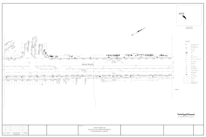
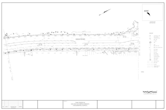
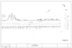
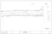
Ik kan alle soorten survey projecten aan, inclusief drone, point cloud, ALTA, boundary survey en topografische surveys.

Voorkeur voor een leveringsstijl

Laat het de freelancer weten als je voorkeuren voor of zorgen hebt over het gebruik van AI-tools voor het voltooien en/of leveren van je bestelling.

Maak kennis met Pravin Savant

Pravin Savant

Land surveying i Land Development I Walkthrough I Scan to BIM I Point cloud

  • Afkomstig uitIndia
  • Lid sindsjan 2026
  • Gem. reactietijd2 uur
  • Talen

    Engels
Land Surveying, Civil Engineering & Architectural Services: I provide land surveying services including boundary, topographic, as-built, lot, and UAV (drone) surveys. I deliver civil design and CAD drafting using AutoCAD and Civil 3D for land development projects, covering site layouts, grading, earthwork, road profiles, drainage, utilities, and erosion control. I also prepare architectural permit drawing sets with architectural, structural, and civil coordination, as well as 3D modeling, renderings, walkthroughs, and point cloud–based documentation.

Automatische vertaling